Tecate geodata
Tecate (Baja California) is a seat of a second-order administrative division; located in Mexico in America/Tijuana (GMT-7) time zone. With population of 64,764 people, there are 184 cities with bigger population in this country. Compared to other cities in Mexico, 99.9% of cities are located further ↓South; 99.7% of cities are located further →East and 68.1% of cities have higher elevation than Tecate. Note1


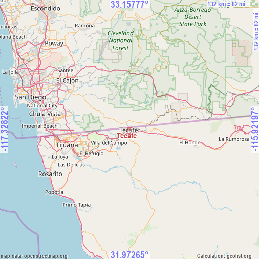
Tecate GPS coordinates[2]
32° 34' 1.812" North, 116° 37' 30.324" West
| Map corner | latitude | longitude |
|---|---|---|
| Upper-left | 33.15777°, | -117.32822° |
| Center: | 32.56717°, | -116.62509° |
| Lower-right: | 31.97265°, | -115.92197° |
| Map W x H: | 131.8×131.8 km | = 81.9×81.9mi |
| max Lat: | 32.7° ⇑0.1% North |
| Tecate: | 32.56717° |
| min Lat: | ⇓99.9% South 14.53588° |
| min Long | Tecate | max Long |
| -117.105° | -116.62509° | -86.73105° |
| W 0.3%⇐ | ⇒99.7% E |
Elevation
Elevation of Tecate is 525 m = 1722 ft, and this is 728.7 m = 2391 ft below average elevation for this country.
| Max E: |
3497 m = 11473 ft | 68.1% |
| Avg. | 1253.7 m = 4113 ft | |
| Tecate | 525 m = 1722 ft | |
Min E: |
-1 m = -3 ft | 31.9% |
See also: Tecate elevation on elevation.city.
Geographical zone
Tecate is located in North temperate zone (between Tropic of Cancer and the Arctic Circle). Distance of this Northern Tropic circle is 1015.2 km =630.8 mi to South.| Distance of | km | miles | from Tecate |
|---|---|---|---|
| North Pole | 6385.9 | 3968 | to North |
| Arctic Circle | 3780 | 2348.8 | to North |
| Tropic Cancer | 1015.2 | 630.8 | to South |
| Equator | 3621.1 | 2250 | to South |


Nearby cities:
15 places around Tecate: (largest is in red/bold)
• Alfonso Garzón [Granjas Familiares]
2.4 km =1.5 mi,  162°
162°
• Ejido Javier Rojo Gómez
20.2 km =12.6 mi,  246°
246°
• Ejido Ojo de Agua
18.4 km =11.4 mi,  236°
236°
• El Niño
17 km =10.6 mi, 247°
• Hacienda Tecate
9.4 km =5.8 mi,  91°
91°
• Lomas de Santa Anita
3.7 km =2.3 mi,  222°
222°
• Lomas de Tlatelolco
19 km =11.8 mi, 240°
• Lomas del Pedregal
18.1 km =11.2 mi, 241°
• Los Girasoles
17.9 km =11.1 mi,  233°
233°
• Maclovio Herrera (Colonia Aviación)
3 km =1.9 mi,  200°
200°
• Maclovio Rojas
19.7 km =12.2 mi, 237°
• Nuevo Progreso
18.5 km =11.5 mi, 232°
• Partido del Trabajo
18.9 km =11.7 mi, 237°
• Tres M (Pérez)
17.1 km =10.6 mi, 244°
• Villa del Campo
12.5 km =7.8 mi, 237°
Sources, notices
• [Note1] Compared only with cities in Mexico existing in our database
• [Src1] Map data: © OpenStreetMap contributors (CC-BY-SA)
• [Src2] Other city data from geonames.org with taken over terms of usage.
• [Src3] Geographical zone / Annual Mean Temperature by Robert A. Rohde @ Wikipedia
