San Diego geodata
San Diego (Sinaloa) is a populated place; located in Mexico in America/Mazatlan (GMT-7) time zone. With population of 1,240 people, there are 6998 cities with bigger population in this country. Compared to other cities in Mexico, 90.7% of cities are located further ↓South; 94.7% of cities are located further →East and 91.6% of cities have higher elevation than San Diego. Note1


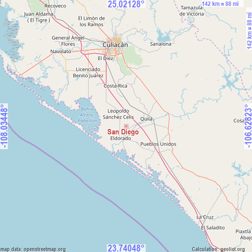
San Diego GPS coordinates[2]
24° 22' 57" North, 107° 19' 52.86" West
| Map corner | latitude | longitude |
|---|---|---|
| Upper-left | 25.02128°, | -108.03448° |
| Center: | 24.3825°, | -107.33135° |
| Lower-right: | 23.74048°, | -106.62823° |
| Map W x H: | 142.4×142.4 km | = 88.5×88.5mi |
| max Lat: | 32.7° ⇑9.3% North |
| San Diego: | 24.3825° |
| min Lat: | ⇓90.7% South 14.53588° |
| min Long | San Diego | max Long |
| -117.105° | -107.33135° | -86.73105° |
| W 5.3%⇐ | ⇒94.7% E |
Elevation
Elevation of San Diego is 20 m = 66 ft, and this is 1233.7 m = 4048 ft below average elevation for this country.
| Max E: |
3497 m = 11473 ft | 91.6% |
| Avg. | 1253.7 m = 4113 ft | |
| San Diego | 20 m = 66 ft | |
Min E: |
-1 m = -3 ft | 8.4% |
See also: Mexico elevation on elevation.city.
Geographical zone
San Diego is located in North temperate zone (between Tropic of Cancer and the Arctic Circle). Distance of this Northern Tropic circle is 105.2 km =65.4 mi to South.| Distance of | km | miles | from San Diego |
|---|---|---|---|
| North Pole | 7296 | 4533.5 | to North |
| Arctic Circle | 4690.1 | 2914.3 | to North |
| Tropic Cancer | 105.2 | 65.4 | to South |
| Equator | 2711.1 | 1684.6 | to South |


Nearby cities:
15 places around San Diego: (largest is in red/bold)
• Camalote
3.1 km =1.9 mi,  98°
98°
• Ejido Mezquitillo (La Curva)
11.7 km =7.3 mi,  331°
331°
• Ejido la Arrocera
10.5 km =6.5 mi, 329°
• El Dorado
7.4 km =4.6 mi,  205°
205°
• El Higueral
8.2 km =5.1 mi,  191°
191°
• El Huinacaxtle
4 km =2.5 mi,  88°
88°
• Eldorado
7.4 km =4.6 mi, 209°
• Guadalupe Victoria
11.1 km =6.9 mi,  146°
146°
• La Cruz de Eldorado (Cruz de Navito)
3.7 km =2.3 mi,  175°
175°
• La Loma (La Loma de Quila)
10.6 km =6.6 mi, 91°
• Las Piedritas
4.9 km =3 mi,  313°
313°
• Las Tres Gotas de Agua
4.3 km =2.7 mi,  3°
3°
• Miguel Valdez Quintero (El Corazón)
12.5 km =7.8 mi,  6°
6°
• Portaceli
4.6 km =2.9 mi, 146°
• Quila
12 km =7.5 mi,  67°
67°
Sources, notices
• [Note1] Compared only with cities in Mexico existing in our database
• [Src1] Map data: © OpenStreetMap contributors (CC-BY-SA)
• [Src2] Other city data from geonames.org with taken over terms of usage.
• [Src3] Geographical zone / Annual Mean Temperature by Robert A. Rohde @ Wikipedia
