Masiaca geodata
Masiaca (Sonora) is a populated place; located in Mexico in America/Hermosillo (GMT-7) time zone. With population of 1,514 people, there are 5695 cities with bigger population in this country. Compared to other cities in Mexico, 96% of cities are located further ↓South; 97.3% of cities are located further →East and 81.6% of cities have higher elevation than Masiaca. Note1


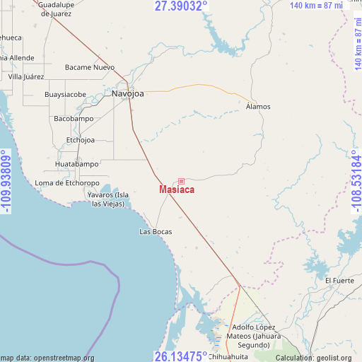
Masiaca GPS coordinates[2]
26° 45' 51.372" North, 109° 14' 5.856" West
| Map corner | latitude | longitude |
|---|---|---|
| Upper-left | 27.39032°, | -109.93809° |
| Center: | 26.76427°, | -109.23496° |
| Lower-right: | 26.13475°, | -108.53184° |
| Map W x H: | 139.6×139.6 km | = 86.7×86.7mi |
| max Lat: | 32.7° ⇑4% North |
| Masiaca: | 26.76427° |
| min Lat: | ⇓96% South 14.53588° |
| min Long | Masiaca | max Long |
| -117.105° | -109.23496° | -86.73105° |
| W 2.7%⇐ | ⇒97.3% E |
Elevation
Elevation of Masiaca is 74 m = 243 ft, and this is 1179.7 m = 3870 ft below average elevation for this country.
| Max E: |
3497 m = 11473 ft | 81.6% |
| Avg. | 1253.7 m = 4113 ft | |
| Masiaca | 74 m = 243 ft | |
Min E: |
-1 m = -3 ft | 18.4% |
See also: Mexico elevation on elevation.city.
Geographical zone
Masiaca is located in North temperate zone (between Tropic of Cancer and the Arctic Circle). Distance of this Northern Tropic circle is 370 km =229.9 mi to South.| Distance of | km | miles | from Masiaca |
|---|---|---|---|
| North Pole | 7031.2 | 4369 | to North |
| Arctic Circle | 4425.3 | 2749.8 | to North |
| Tropic Cancer | 370 | 229.9 | to South |
| Equator | 2975.9 | 1849.1 | to South |


Nearby cities:
15 places around Masiaca: (largest is in red/bold)
• Bacabachi
21.4 km =13.3 mi,  312°
312°
• Buayums
22.6 km =14 mi,  299°
299°
• Chirajobampo
22.3 km =13.9 mi, 311°
• El Saneal
22.3 km =13.9 mi,  317°
317°
• Jopopaco
4.8 km =3 mi,  232°
232°
• La Unión
37.6 km =23.4 mi,  279°
279°
• Las Bocas
22 km =13.7 mi,  207°
207°
• Melchor Ocampo
26.4 km =16.4 mi,  167°
167°
• Moroncarit
38.1 km =23.7 mi,  264°
264°
• San Antonio
36.3 km =22.6 mi,  269°
269°
• San José Masiaca
2.2 km =1.4 mi, 208°
• Sebampo
35.8 km =22.2 mi,  291°
291°
• Sinahuiza
26 km =16.2 mi, 308°
• Sirebampo
13.8 km =8.6 mi,  180°
180°
• Yavaros
29.2 km =18.1 mi, 256°
Sources, notices
• [Note1] Compared only with cities in Mexico existing in our database
• [Src1] Map data: © OpenStreetMap contributors (CC-BY-SA)
• [Src2] Other city data from geonames.org with taken over terms of usage.
• [Src3] Geographical zone / Annual Mean Temperature by Robert A. Rohde @ Wikipedia
