La Mina geodata
La Mina (Michoacán) is a populated place; located in Mexico in America/Mexico_City (GMT-6) time zone. With population of 937 people, there are 9304 cities with bigger population in this country. Compared to other cities in Mexico, 55% of cities are located further ↓South; 73.4% of cities are located further →East and 65.4% of cities have lower elevation than La Mina. Note1


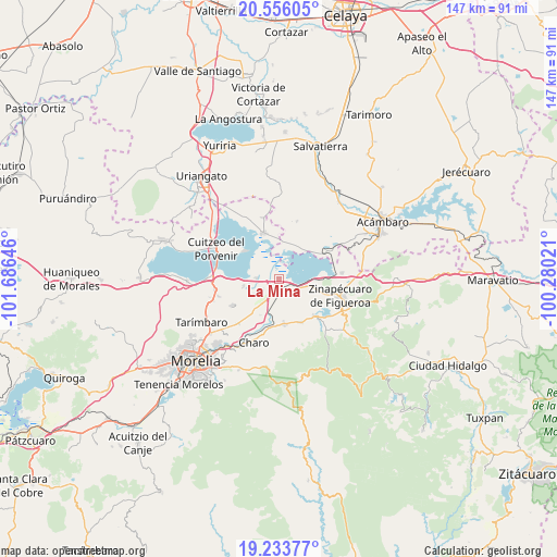
La Mina GPS coordinates[2]
19° 53' 46.644" North, 100° 58' 59.988" West
| Map corner | latitude | longitude |
|---|---|---|
| Upper-left | 20.55605°, | -101.68646° |
| Center: | 19.89629°, | -100.98333° |
| Lower-right: | 19.23377°, | -100.28021° |
| Map W x H: | 147×147 km | = 91.3×91.3mi |
| max Lat: | 32.7° ⇑45% North |
| La Mina: | 19.89629° |
| min Lat: | ⇓55% South 14.53588° |
| min Long | La Mina | max Long |
| -117.105° | -100.98333° | -86.73105° |
| W 26.6%⇐ | ⇒73.4% E |
Elevation
Elevation of La Mina is 1839 m = 6033 ft, and this is 585.3 m = 1920 ft above average elevation for this country.
| Max E: |
3497 m = 11473 ft | 34.6% |
| La Mina | 1839 m 6033 ft | |
| Avg. | 1253.7 m = 4113 ft | |
Min E: |
-1 m = -3 ft | 65.4% |
See also: Mexico elevation on elevation.city.
Geographical zone
La Mina is located in North Torrid zone (between Equator and Tropic of Cancer). Distance of this Northern Tropic circle is 393.7 km =244.6 mi to North.| Distance of | km | miles | from La Mina |
|---|---|---|---|
| North Pole | 7794.8 | 4843.5 | to North |
| Arctic Circle | 5188.9 | 3224.2 | to North |
| Tropic Cancer | 393.7 | 244.6 | to North |
| Equator | 2212.3 | 1374.7 | to South |


Nearby cities:
15 places around La Mina: (largest is in red/bold)
• Belisario Domínguez
3 km =1.9 mi,  156°
156°
• Chehuayo Grande
8.8 km =5.5 mi,  270°
270°
• Colonia Benito Juárez (Chapitiro)
4.4 km =2.7 mi,  173°
173°
• Colonia del Triunfo (La Tepacua)
8.8 km =5.5 mi, 173°
• Emiliano Zapata
9.7 km =6 mi,  257°
257°
• Estación Queréndaro
3.9 km =2.4 mi,  112°
112°
• Felipe Carrillo Puerto
5.8 km =3.6 mi, 272°
• Francisco Villa
5.5 km =3.4 mi,  115°
115°
• Irámuco
9.7 km =6 mi,  41°
41°
• La Ortiga
7.5 km =4.7 mi,  346°
346°
• La Presa
5.7 km =3.5 mi,  275°
275°
• Las Trojes
7.8 km =4.8 mi, 259°
• Lázaro Cárdenas (La Purísima)
5.1 km =3.2 mi,  234°
234°
• Plan de las Palmas
7.8 km =4.8 mi,  186°
186°
• Tzintzimeo
2.9 km =1.8 mi, 168°
Sources, notices
• [Note1] Compared only with cities in Mexico existing in our database
• [Src1] Map data: © OpenStreetMap contributors (CC-BY-SA)
• [Src2] Other city data from geonames.org with taken over terms of usage.
• [Src3] Geographical zone / Annual Mean Temperature by Robert A. Rohde @ Wikipedia
