Bahía Asunción geodata
Bahía Asunción (Baja California Sur) is a populated place; located in Mexico in America/Mazatlan (GMT-7) time zone. With population of 1,484 people, there are 5814 cities with bigger population in this country. Compared to other cities in Mexico, 96.5% of cities are located further ↓South; 99% of cities are located further →East and 94.6% of cities have higher elevation than Bahía Asunción. Note1


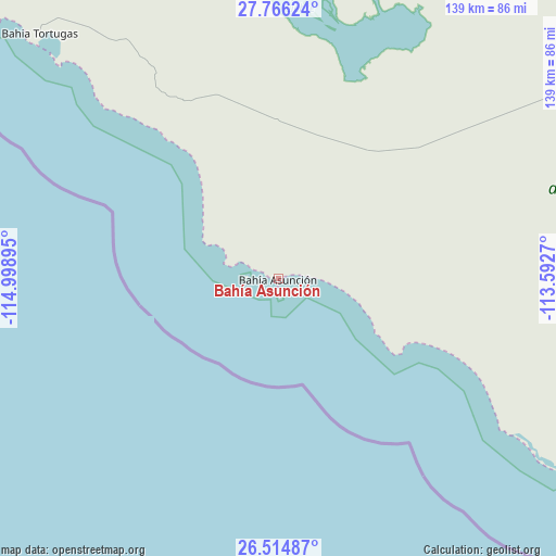
Bahía Asunción GPS coordinates[2]
27° 8' 32.316" North, 114° 17' 44.952" West
| Map corner | latitude | longitude |
|---|---|---|
| Upper-left | 27.76624°, | -114.99895° |
| Center: | 27.14231°, | -114.29582° |
| Lower-right: | 26.51487°, | -113.5927° |
| Map W x H: | 139.1×139.1 km | = 86.4×86.4mi |
| max Lat: | 32.7° ⇑3.5% North |
| Bahía Asunción: | 27.14231° |
| min Lat: | ⇓96.5% South 14.53588° |
| min Long | Bahía Asunció | max Long |
| -117.105° | -114.29582° | -86.73105° |
| W 1%⇐ | ⇒99% E |
Elevation
Elevation of Bahía Asunción is 14 m = 46 ft, and this is 1239.7 m = 4067 ft below average elevation for this country.
| Max E: |
3497 m = 11473 ft | 94.6% |
| Avg. | 1253.7 m = 4113 ft | |
| Bahía Asunción | 14 m = 46 ft | |
Min E: |
-1 m = -3 ft | 5.4% |
See also: Mexico elevation on elevation.city.
Geographical zone
Bahía Asunción is located in North temperate zone (between Tropic of Cancer and the Arctic Circle). Distance of this Northern Tropic circle is 412 km =256 mi to South.| Distance of | km | miles | from Bahía Asunción |
|---|---|---|---|
| North Pole | 6989.1 | 4342.8 | to North |
| Arctic Circle | 4383.2 | 2723.6 | to North |
| Tropic Cancer | 412 | 256 | to South |
| Equator | 3017.9 | 1875.2 | to South |


Nearby cities:
15 places around Bahía Asunción: (largest is in red/bold)
• Bahía Tortugas
85 km =52.8 mi,  315°
315°
• Díaz Ordaz
100.6 km =62.5 mi,  56°
56°
• Ejido San Lucas
205.1 km =127.4 mi,  87°
87°
• El Morro
133.2 km =82.8 mi, 318°
• El Silencio
104.9 km =65.2 mi,  69°
69°
• Guerrero Negro
95.2 km =59.2 mi,  15°
15°
• Las Margaritas
98.6 km =61.3 mi, 57°
• Los Mártires Uno
108.9 km =67.7 mi,  77°
77°
• Punta Abreojos
85.8 km =53.3 mi,  123°
123°
• San Francisco
103 km =64 mi, 57°
• San Ignacio
139.3 km =86.6 mi, 83°
• San Juanico
205.5 km =127.7 mi, 118°
• San Luis
153.3 km =95.3 mi, 20°
• Santa Rosalía
201.7 km =125.3 mi, 83°
• Villa Alberto Andrés Alvarado Arámburo
105.9 km =65.8 mi, 58°
Sources, notices
• [Note1] Compared only with cities in Mexico existing in our database
• [Src1] Map data: © OpenStreetMap contributors (CC-BY-SA)
• [Src2] Other city data from geonames.org with taken over terms of usage.
• [Src3] Geographical zone / Annual Mean Temperature by Robert A. Rohde @ Wikipedia
