Los Mártires Uno geodata
Los Mártires Uno (Baja California Sur) is a populated place; located in Mexico in America/Mazatlan (GMT-7) time zone. With population of 651 people, there are 13306 cities with bigger population in this country. Compared to other cities in Mexico, 96.7% of cities are located further ↓South; 99% of cities are located further →East and 81.9% of cities have higher elevation than Los Mártires Uno. Note1


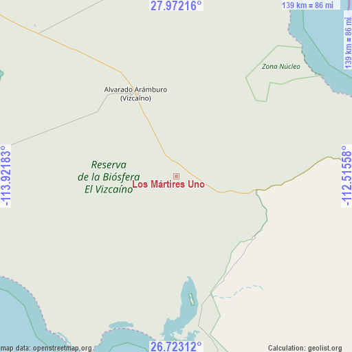
Los Mártires Uno GPS coordinates[2]
27° 20' 57.84" North, 113° 13' 7.32" West
| Map corner | latitude | longitude |
|---|---|---|
| Upper-left | 27.97216°, | -113.92183° |
| Center: | 27.3494°, | -113.2187° |
| Lower-right: | 26.72312°, | -112.51558° |
| Map W x H: | 138.9×138.9 km | = 86.3×86.3mi |
| max Lat: | 32.7° ⇑3.3% North |
| Los Mártires Uno: | 27.3494° |
| min Lat: | ⇓96.7% South 14.53588° |
| min Long | Los Mártires U | max Long |
| -117.105° | -113.2187° | -86.73105° |
| W 1%⇐ | ⇒99% E |
Elevation
Elevation of Los Mártires Uno is 71 m = 233 ft, and this is 1182.7 m = 3880 ft below average elevation for this country.
| Max E: |
3497 m = 11473 ft | 81.9% |
| Avg. | 1253.7 m = 4113 ft | |
| Los Mártires Uno | 71 m = 233 ft | |
Min E: |
-1 m = -3 ft | 18.1% |
See also: Mexico elevation on elevation.city.
Geographical zone
Los Mártires Uno is located in North temperate zone (between Tropic of Cancer and the Arctic Circle). Distance of this Northern Tropic circle is 435 km =270.3 mi to South.| Distance of | km | miles | from Los Mártires Uno |
|---|---|---|---|
| North Pole | 6966.1 | 4328.5 | to North |
| Arctic Circle | 4360.2 | 2709.3 | to North |
| Tropic Cancer | 435 | 270.3 | to South |
| Equator | 3041 | 1889.6 | to South |


Nearby cities:
15 places around Los Mártires Uno: (largest is in red/bold)
• Bahía Asunción
108.9 km =67.7 mi,  257°
257°
• Díaz Ordaz
40.2 km =25 mi,  325°
325°
• Ejido San Lucas
99.3 km =61.7 mi,  98°
98°
• El Silencio
15.4 km =9.6 mi, 328°
• Guerrero Negro
106.6 km =66.2 mi,  310°
310°
• Las Margaritas
37.8 km =23.5 mi,  322°
322°
• Mulegé
132.5 km =82.3 mi,  112°
112°
• Punta Abreojos
78.8 km =49 mi,  206°
206°
• San Bruno
106.8 km =66.4 mi, 101°
• San Francisco
38.4 km =23.9 mi, 328°
• San Ignacio
32.7 km =20.3 mi, 103°
• San Juanico
141.9 km =88.2 mi,  148°
148°
• San Luis
131.3 km =81.6 mi,  336°
336°
• Santa Rosalía
93.9 km =58.3 mi,  90°
90°
• Villa Alberto Andrés Alvarado Arámburo
36.7 km =22.8 mi, 333°
Sources, notices
• [Note1] Compared only with cities in Mexico existing in our database
• [Src1] Map data: © OpenStreetMap contributors (CC-BY-SA)
• [Src2] Other city data from geonames.org with taken over terms of usage.
• [Src3] Geographical zone / Annual Mean Temperature by Robert A. Rohde @ Wikipedia
