Las Canoas geodata
Las Canoas (Michoacán) is a populated place; located in Mexico in America/Mexico_City (GMT-6) time zone. With population of 642 people, there are 13481 cities with bigger population in this country. Compared to other cities in Mexico, 53% of cities are located further ↓South; 80.2% of cities are located further →East and 84.3% of cities have lower elevation than Las Canoas. Note1


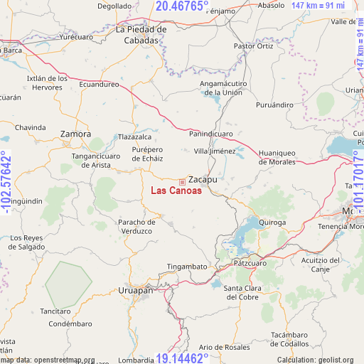
Las Canoas GPS coordinates[2]
19° 48' 27.036" North, 101° 52' 23.844" West
| Map corner | latitude | longitude |
|---|---|---|
| Upper-left | 20.46765°, | -102.57642° |
| Center: | 19.80751°, | -101.87329° |
| Lower-right: | 19.14462°, | -101.17017° |
| Map W x H: | 147.1×147.1 km | = 91.4×91.4mi |
| max Lat: | 32.7° ⇑47% North |
| Las Canoas: | 19.80751° |
| min Lat: | ⇓53% South 14.53588° |
| min Long | Las Canoas | max Long |
| -117.105° | -101.87329° | -86.73105° |
| W 19.8%⇐ | ⇒80.2% E |
Elevation
Elevation of Las Canoas is 2249 m = 7379 ft, and this is 995.3 m = 3265 ft above average elevation for this country.
| Max E: |
3497 m = 11473 ft | 15.7% |
| Las Canoas | 2249 m 7379 ft | |
| Avg. | 1253.7 m = 4113 ft | |
Min E: |
-1 m = -3 ft | 84.3% |
See also: Mexico elevation on elevation.city.
Geographical zone
Las Canoas is located in North Torrid zone (between Equator and Tropic of Cancer). Distance of this Northern Tropic circle is 403.5 km =250.7 mi to North.| Distance of | km | miles | from Las Canoas |
|---|---|---|---|
| North Pole | 7804.7 | 4849.6 | to North |
| Arctic Circle | 5198.8 | 3230.4 | to North |
| Tropic Cancer | 403.5 | 250.7 | to North |
| Equator | 2202.4 | 1368.5 | to South |


Nearby cities:
15 places around Las Canoas: (largest is in red/bold)
• Casimiro Leco (El Cerecito)
11.1 km =6.9 mi,  245°
245°
• Caurio de Guadalupe
13.1 km =8.1 mi,  5°
5°
• Caurio de la Rinconada
12.6 km =7.8 mi, 11°
• Colonia Eréndira
1.4 km =0.9 mi,  0°
0°
• El Pueblito
6.1 km =3.8 mi,  283°
283°
• La Escondida
13.4 km =8.3 mi,  50°
50°
• La Mojonera
12.3 km =7.6 mi,  160°
160°
• La Vírgen
13.8 km =8.6 mi, 52°
• Los Llanos
10.9 km =6.8 mi, 282°
• Morelos
11.6 km =7.2 mi,  103°
103°
• Naranja de Tapia
12.4 km =7.7 mi,  105°
105°
• Santa Gertrúdis
13 km =8.1 mi, 53°
• Tiríndaro
14.2 km =8.8 mi, 106°
• Zacapu
8.9 km =5.5 mi,  79°
79°
• Zacapú
8.6 km =5.3 mi,  85°
85°
Sources, notices
• [Note1] Compared only with cities in Mexico existing in our database
• [Src1] Map data: © OpenStreetMap contributors (CC-BY-SA)
• [Src2] Other city data from geonames.org with taken over terms of usage.
• [Src3] Geographical zone / Annual Mean Temperature by Robert A. Rohde @ Wikipedia
