Hermiltepec geodata
Hermiltepec (State of Mexico) is a populated place; located in Mexico in America/Mexico_City (GMT-6) time zone. With population of 566 people, there are 15096 cities with bigger population in this country. Compared to other cities in Mexico, 64.9% of cities are located further ↑North; 68.1% of cities are located further →East and 55.4% of cities have higher elevation than Hermiltepec. Note1


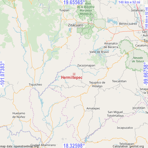
Hermiltepec GPS coordinates[2]
18° 59' 31.704" North, 100° 22' 14.52" West
| Map corner | latitude | longitude |
|---|---|---|
| Upper-left | 19.65565°, | -101.07383° |
| Center: | 18.99214°, | -100.3707° |
| Lower-right: | 18.32598°, | -99.66758° |
| Map W x H: | 147.8×147.8 km | = 91.8×91.8mi |
| max Lat: | 32.7° ⇑64.9% North |
| Hermiltepec: | 18.99214° |
| min Lat: | ⇓35.1% South 14.53588° |
| min Long | Hermiltepec | max Long |
| -117.105° | -100.3707° | -86.73105° |
| W 31.9%⇐ | ⇒68.1% E |
Elevation
Elevation of Hermiltepec is 1182 m = 3878 ft, and this is 71.7 m = 235 ft below average elevation for this country.
| Max E: |
3497 m = 11473 ft | 55.4% |
| Avg. | 1253.7 m = 4113 ft | |
| Hermiltepec | 1182 m = 3878 ft | |
Min E: |
-1 m = -3 ft | 44.6% |
See also: Mexico elevation on elevation.city.
Geographical zone
Hermiltepec is located in North Torrid zone (between Equator and Tropic of Cancer). Distance of this Northern Tropic circle is 494.2 km =307.1 mi to North.| Distance of | km | miles | from Hermiltepec |
|---|---|---|---|
| North Pole | 7895.3 | 4905.9 | to North |
| Arctic Circle | 5289.4 | 3286.7 | to North |
| Tropic Cancer | 494.2 | 307.1 | to North |
| Equator | 2111.7 | 1312.1 | to South |


Nearby cities:
15 places around Hermiltepec: (largest is in red/bold)
• Caja de Agua
8.7 km =5.4 mi,  113°
113°
• Cañadas de Nanchititla
16.6 km =10.3 mi,  210°
210°
• El Campanario
6.5 km =4 mi,  312°
312°
• El Estanco
15.7 km =9.8 mi,  130°
130°
• El Potrero de Tenayac
17.6 km =10.9 mi,  71°
71°
• La Finca
17.3 km =10.7 mi,  78°
78°
• Otzoloapan
15.9 km =9.9 mi,  29°
29°
• San Juan Acatitlán
8.8 km =5.5 mi, 76°
• San Pedro Tenayac
21.3 km =13.2 mi, 73°
• Sauz de San Lucas (El Sauz)
14.8 km =9.2 mi,  87°
87°
• Suquitila
19.6 km =12.2 mi, 106°
• Trojes
12.1 km =7.5 mi,  123°
123°
• Villa Luvianos
8.9 km =5.5 mi,  200°
200°
• Villa Luvianos
11.1 km =6.9 mi,  136°
136°
• Zacazonapan
15.1 km =9.4 mi,  53°
53°
Sources, notices
• [Note1] Compared only with cities in Mexico existing in our database
• [Src1] Map data: © OpenStreetMap contributors (CC-BY-SA)
• [Src2] Other city data from geonames.org with taken over terms of usage.
• [Src3] Geographical zone / Annual Mean Temperature by Robert A. Rohde @ Wikipedia
