El Súchil geodata
El Súchil (Guerrero) is a populated place; located in Mexico in America/Mexico_City (GMT-6) time zone. With population of 6,962 people, there are 1333 cities with bigger population in this country. Compared to other cities in Mexico, 86.2% of cities are located further ↑North; 70.6% of cities are located further →East and 85.1% of cities have higher elevation than El Súchil. Note1


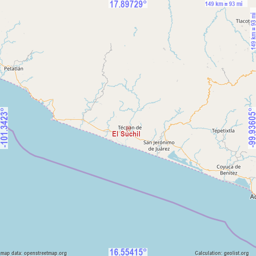
El Súchil GPS coordinates[2]
17° 13' 36.984" North, 100° 38' 21.012" West
| Map corner | latitude | longitude |
|---|---|---|
| Upper-left | 17.89729°, | -101.3423° |
| Center: | 17.22694°, | -100.63917° |
| Lower-right: | 16.55415°, | -99.93605° |
| Map W x H: | 149.3×149.3 km | = 92.8×92.8mi |
| max Lat: | 32.7° ⇑86.2% North |
| El Súchil: | 17.22694° |
| min Lat: | ⇓13.8% South 14.53588° |
| min Long | El Súchil | max Long |
| -117.105° | -100.63917° | -86.73105° |
| W 29.4%⇐ | ⇒70.6% E |
Elevation
Elevation of El Súchil is 43 m = 141 ft, and this is 1210.7 m = 3972 ft below average elevation for this country.
| Max E: |
3497 m = 11473 ft | 85.1% |
| Avg. | 1253.7 m = 4113 ft | |
| El Súchil | 43 m = 141 ft | |
Min E: |
-1 m = -3 ft | 14.9% |
See also: Mexico elevation on elevation.city.
Geographical zone
El Súchil is located in North Torrid zone (between Equator and Tropic of Cancer). Distance of this Northern Tropic circle is 690.5 km =429.1 mi to North.| Distance of | km | miles | from El Súchil |
|---|---|---|---|
| North Pole | 8091.6 | 5027.9 | to North |
| Arctic Circle | 5485.7 | 3408.7 | to North |
| Tropic Cancer | 690.5 | 429.1 | to North |
| Equator | 1915.5 | 1190.2 | to South |


Nearby cities:
15 places around El Súchil: (largest is in red/bold)
• Arenal de Gómez (Primer Arenal)
21.6 km =13.4 mi,  116°
116°
• Arenal del Centro (La Máquina)
21.7 km =13.5 mi, 118°
• Atoyac de Álvarez
22 km =13.7 mi,  95°
95°
• Colonia Veinte de Noviembre (El Veinte)
15.9 km =9.9 mi,  265°
265°
• Corral Falso
20 km =12.4 mi,  107°
107°
• El Ticui
20.7 km =12.9 mi,  93°
93°
• Las Tunas
20.4 km =12.7 mi,  125°
125°
• Nuxco
12.6 km =7.8 mi,  261°
261°
• Rodecia
6.9 km =4.3 mi,  251°
251°
• San Jerónimo de Juárez
20.4 km =12.7 mi, 118°
• Santa María
7.2 km =4.5 mi, 87°
• Tenexpa
5.8 km =3.6 mi,  215°
215°
• Tetitlán
7.6 km =4.7 mi,  180°
180°
• Técpan de Galeana
1.2 km =0.7 mi, 130°
• Villa Rotaria
4.8 km =3 mi, 221°
Sources, notices
• [Note1] Compared only with cities in Mexico existing in our database
• [Src1] Map data: © OpenStreetMap contributors (CC-BY-SA)
• [Src2] Other city data from geonames.org with taken over terms of usage.
• [Src3] Geographical zone / Annual Mean Temperature by Robert A. Rohde @ Wikipedia
