Xochitempa geodata
Xochitempa (Guerrero) is a populated place; located in Mexico in America/Mexico_City (GMT-6) time zone. With population of 875 people, there are 9983 cities with bigger population in this country. Compared to other cities in Mexico, 82.9% of cities are located further ↑North; 52.2% of cities are located further →East and 68.8% of cities have lower elevation than Xochitempa. Note1


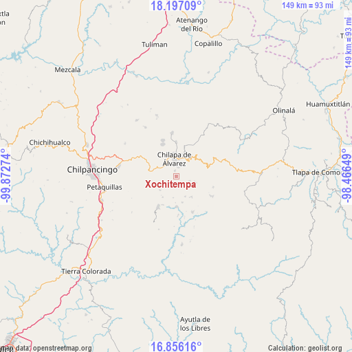
Xochitempa GPS coordinates[2]
17° 31' 40.296" North, 99° 10' 10.596" West
| Map corner | latitude | longitude |
|---|---|---|
| Upper-left | 18.19709°, | -99.87274° |
| Center: | 17.52786°, | -99.16961° |
| Lower-right: | 16.85616°, | -98.46649° |
| Map W x H: | 149.1×149.1 km | = 92.6×92.6mi |
| max Lat: | 32.7° ⇑82.9% North |
| Xochitempa: | 17.52786° |
| min Lat: | ⇓17.1% South 14.53588° |
| min Long | Xochitempa | max Long |
| -117.105° | -99.16961° | -86.73105° |
| W 47.8%⇐ | ⇒52.2% E |
Elevation
Elevation of Xochitempa is 1903 m = 6243 ft, and this is 649.3 m = 2130 ft above average elevation for this country.
| Max E: |
3497 m = 11473 ft | 31.2% |
| Xochitempa | 1903 m 6243 ft | |
| Avg. | 1253.7 m = 4113 ft | |
Min E: |
-1 m = -3 ft | 68.8% |
See also: Mexico elevation on elevation.city.
Geographical zone
Xochitempa is located in North Torrid zone (between Equator and Tropic of Cancer). Distance of this Northern Tropic circle is 657 km =408.2 mi to North.| Distance of | km | miles | from Xochitempa |
|---|---|---|---|
| North Pole | 8058.1 | 5007.1 | to North |
| Arctic Circle | 5452.3 | 3387.9 | to North |
| Tropic Cancer | 657 | 408.2 | to North |
| Equator | 1948.9 | 1211 | to South |


Nearby cities:
15 places around Xochitempa: (largest is in red/bold)
• Acalco
2.5 km =1.6 mi,  172°
172°
• Atzacoaloya
4 km =2.5 mi,  58°
58°
• Axopilco
3.5 km =2.2 mi,  267°
267°
• Ayahualulco
3.3 km =2.1 mi,  204°
204°
• Cuauhtenango
4.4 km =2.7 mi,  297°
297°
• Los Amates
3.2 km =2 mi,  309°
309°
• Macuixcatlán
3.8 km =2.4 mi,  16°
16°
• Ocuituco (Acuituco)
4.4 km =2.7 mi,  335°
335°
• Santa Catarina
2.3 km =1.4 mi,  345°
345°
• Tlanipatla
2.6 km =1.6 mi,  75°
75°
• Tlaxinga (Clatzinga)
2.6 km =1.6 mi,  253°
253°
• Zinantla
1.9 km =1.2 mi,  278°
278°
• Zinzintitlán
2.1 km =1.3 mi, 58°
• Zizicazapa
2.3 km =1.4 mi,  127°
127°
• Zoquitipa
1.8 km =1.1 mi, 307°
Sources, notices
• [Note1] Compared only with cities in Mexico existing in our database
• [Src1] Map data: © OpenStreetMap contributors (CC-BY-SA)
• [Src2] Other city data from geonames.org with taken over terms of usage.
• [Src3] Geographical zone / Annual Mean Temperature by Robert A. Rohde @ Wikipedia
