Tepetzintán geodata
Tepetzintán (Puebla) is a populated place; located in Mexico in America/Mexico_City (GMT-6) time zone. With population of 814 people, there are 10730 cities with bigger population in this country. Compared to other cities in Mexico, 58% of cities are located further ↓South; 69.3% of cities are located further ←West and 67.3% of cities have higher elevation than Tepetzintán. Note1


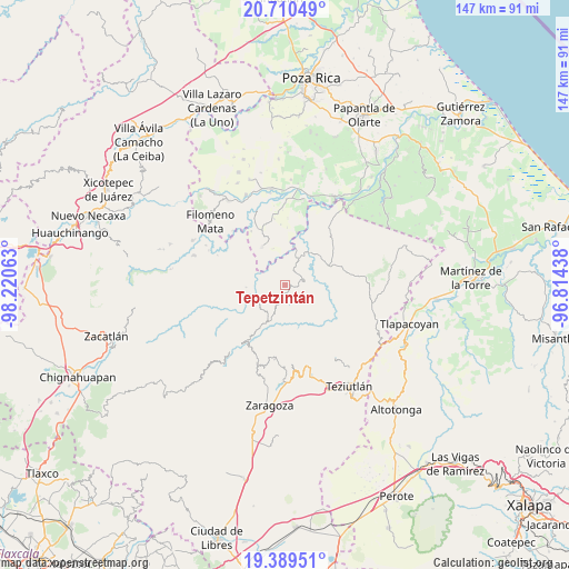
Tepetzintán GPS coordinates[2]
20° 3' 5.004" North, 97° 31' 3" West
| Map corner | latitude | longitude |
|---|---|---|
| Upper-left | 20.71049°, | -98.22063° |
| Center: | 20.05139°, | -97.5175° |
| Lower-right: | 19.38951°, | -96.81438° |
| Map W x H: | 146.9×146.9 km | = 91.3×91.3mi |
| max Lat: | 32.7° ⇑42% North |
| Tepetzintán: | 20.05139° |
| min Lat: | ⇓58% South 14.53588° |
| min Long | Tepetzintán | max Long |
| -117.105° | -97.5175° | -86.73105° |
| W 69.3%⇐ | ⇒30.7% E |
Elevation
Elevation of Tepetzintán is 564 m = 1850 ft, and this is 689.7 m = 2263 ft below average elevation for this country.
| Max E: |
3497 m = 11473 ft | 67.3% |
| Avg. | 1253.7 m = 4113 ft | |
| Tepetzintán | 564 m = 1850 ft | |
Min E: |
-1 m = -3 ft | 32.7% |
See also: Mexico elevation on elevation.city.
Geographical zone
Tepetzintán is located in North Torrid zone (between Equator and Tropic of Cancer). Distance of this Northern Tropic circle is 376.4 km =233.9 mi to North.| Distance of | km | miles | from Tepetzintán |
|---|---|---|---|
| North Pole | 7777.6 | 4832.8 | to North |
| Arctic Circle | 5171.7 | 3213.5 | to North |
| Tropic Cancer | 376.4 | 233.9 | to North |
| Equator | 2229.5 | 1385.3 | to South |


Nearby cities:
15 places around Tepetzintán: (largest is in red/bold)
• Ayotzinapan
2.2 km =1.4 mi,  284°
284°
• Ciudad de Cuetzalan
3.7 km =2.3 mi,  185°
185°
• Cuauhtamazaco
4.3 km =2.7 mi,  132°
132°
• Cuetzalan
3.8 km =2.4 mi, 188°
• Ecatlán (Santiago Ecatlán)
4.1 km =2.5 mi,  272°
272°
• Ixtahuata
3.4 km =2.1 mi,  162°
162°
• Pahpatapán
5.4 km =3.4 mi,  200°
200°
• Santiago Yancuictlalpan
4.8 km =3 mi,  77°
77°
• Tepetitán Reyeshogpan de Hidalgo
4.4 km =2.7 mi,  34°
34°
• Tuzamapan Xiloxochico
3.1 km =1.9 mi, 77°
• Tzinacapan
3.4 km =2.1 mi,  224°
224°
• Xalcuahuta
4.1 km =2.5 mi,  8°
8°
• Xaltipan
4.4 km =2.7 mi,  340°
340°
• Xiloxochico de Rafael Ávila Camacho
2.9 km =1.8 mi,  102°
102°
• Yohualichan
1.9 km =1.2 mi,  52°
52°
Sources, notices
• [Note1] Compared only with cities in Mexico existing in our database
• [Src1] Map data: © OpenStreetMap contributors (CC-BY-SA)
• [Src2] Other city data from geonames.org with taken over terms of usage.
• [Src3] Geographical zone / Annual Mean Temperature by Robert A. Rohde @ Wikipedia
