Ilita geodata
Ilita (Puebla) is a populated place; located in Mexico in America/Mexico_City (GMT-6) time zone. With population of 774 people, there are 11290 cities with bigger population in this country. Compared to other cities in Mexico, 54% of cities are located further ↓South; 69.8% of cities are located further ←West and 66.7% of cities have lower elevation than Ilita. Note1


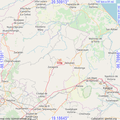
Ilita GPS coordinates[2]
19° 50' 57.012" North, 97° 28' 22.008" West
| Map corner | latitude | longitude |
|---|---|---|
| Upper-left | 20.50913°, | -98.17591° |
| Center: | 19.84917°, | -97.47278° |
| Lower-right: | 19.18645°, | -96.76966° |
| Map W x H: | 147.1×147.1 km | = 91.4×91.4mi |
| max Lat: | 32.7° ⇑46% North |
| Ilita: | 19.84917° |
| min Lat: | ⇓54% South 14.53588° |
| min Long | Ilita | max Long |
| -117.105° | -97.47278° | -86.73105° |
| W 69.8%⇐ | ⇒30.2% E |
Elevation
Elevation of Ilita is 1863 m = 6112 ft, and this is 609.3 m = 1999 ft above average elevation for this country.
| Max E: |
3497 m = 11473 ft | 33.3% |
| Ilita | 1863 m 6112 ft | |
| Avg. | 1253.7 m = 4113 ft | |
Min E: |
-1 m = -3 ft | 66.7% |
See also: Mexico elevation on elevation.city.
Geographical zone
Ilita is located in North Torrid zone (between Equator and Tropic of Cancer). Distance of this Northern Tropic circle is 398.9 km =247.9 mi to North.| Distance of | km | miles | from Ilita |
|---|---|---|---|
| North Pole | 7800 | 4846.7 | to North |
| Arctic Circle | 5194.2 | 3227.5 | to North |
| Tropic Cancer | 398.9 | 247.9 | to North |
| Equator | 2207 | 1371.4 | to South |


Nearby cities:
15 places around Ilita: (largest is in red/bold)
• Acocogta
2.7 km =1.7 mi,  353°
353°
• Ajocotzingo
3.8 km =2.4 mi,  193°
193°
• Atalpa
3.3 km =2.1 mi,  278°
278°
• Atempan
1.8 km =1.1 mi,  125°
125°
• Atzalán
4 km =2.5 mi, 132°
• Ciudad de Tlatlauquitepec
2.4 km =1.5 mi, 279°
• Huaxtla
3.2 km =2 mi,  263°
263°
• Las Delicias
3 km =1.9 mi,  115°
115°
• Pezmatlán
1.3 km =0.8 mi, 257°
• San Nicolás (Animazco)
2.8 km =1.7 mi,  106°
106°
• Tanhuixco
3.2 km =2 mi,  169°
169°
• Teteles de Avila Castillo
1.9 km =1.2 mi,  60°
60°
• Tlatlauquitepec
2.6 km =1.6 mi,  266°
266°
• Tochimpa
4.1 km =2.5 mi,  237°
237°
• Yaonahuac
2.5 km =1.6 mi,  16°
16°
Sources, notices
• [Note1] Compared only with cities in Mexico existing in our database
• [Src1] Map data: © OpenStreetMap contributors (CC-BY-SA)
• [Src2] Other city data from geonames.org with taken over terms of usage.
• [Src3] Geographical zone / Annual Mean Temperature by Robert A. Rohde @ Wikipedia
