Acocogta geodata
Acocogta (Puebla) is a populated place; located in Mexico in America/Mexico_City (GMT-6) time zone. With population of 557 people, there are 15314 cities with bigger population in this country. Compared to other cities in Mexico, 54.5% of cities are located further ↓South; 69.8% of cities are located further ←West and 61.9% of cities have lower elevation than Acocogta. Note1


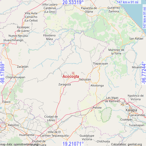
Acocogta GPS coordinates[2]
19° 52' 23.988" North, 97° 28' 32.016" West
| Map corner | latitude | longitude |
|---|---|---|
| Upper-left | 20.53319°, | -98.17869° |
| Center: | 19.87333°, | -97.47556° |
| Lower-right: | 19.21071°, | -96.77244° |
| Map W x H: | 147×147 km | = 91.3×91.3mi |
| max Lat: | 32.7° ⇑45.5% North |
| Acocogta: | 19.87333° |
| min Lat: | ⇓54.5% South 14.53588° |
| min Long | Acocogta | max Long |
| -117.105° | -97.47556° | -86.73105° |
| W 69.8%⇐ | ⇒30.2% E |
Elevation
Elevation of Acocogta is 1757 m = 5764 ft, and this is 503.3 m = 1651 ft above average elevation for this country.
| Max E: |
3497 m = 11473 ft | 38.1% |
| Acocogta | 1757 m 5764 ft | |
| Avg. | 1253.7 m = 4113 ft | |
Min E: |
-1 m = -3 ft | 61.9% |
See also: Mexico elevation on elevation.city.
Geographical zone
Acocogta is located in North Torrid zone (between Equator and Tropic of Cancer). Distance of this Northern Tropic circle is 396.2 km =246.2 mi to North.| Distance of | km | miles | from Acocogta |
|---|---|---|---|
| North Pole | 7797.4 | 4845.1 | to North |
| Arctic Circle | 5191.5 | 3225.8 | to North |
| Tropic Cancer | 396.2 | 246.2 | to North |
| Equator | 2209.7 | 1373 | to South |


Nearby cities:
15 places around Acocogta: (largest is in red/bold)
• Ahuatepec
4.6 km =2.9 mi,  92°
92°
• Atalpa
3.7 km =2.3 mi,  233°
233°
• Atempan
4.2 km =2.6 mi,  154°
154°
• Buena Vista
3.3 km =2.1 mi,  359°
359°
• Ciudad de Tlatlauquitepec
3.1 km =1.9 mi,  222°
222°
• Huaxtla
4.2 km =2.6 mi, 224°
• Hueyapán
3.3 km =2.1 mi,  71°
71°
• Ilita
2.7 km =1.7 mi,  173°
173°
• La Unión
4.3 km =2.7 mi,  1°
1°
• Las Delicias
5 km =3.1 mi,  143°
143°
• Pezmatlán
3.1 km =1.9 mi,  198°
198°
• San Nicolás (Animazco)
4.6 km =2.9 mi, 139°
• Teteles de Avila Castillo
2.6 km =1.6 mi,  132°
132°
• Tlatlauquitepec
3.6 km =2.2 mi, 218°
• Yaonahuac
1.1 km =0.7 mi,  105°
105°
Sources, notices
• [Note1] Compared only with cities in Mexico existing in our database
• [Src1] Map data: © OpenStreetMap contributors (CC-BY-SA)
• [Src2] Other city data from geonames.org with taken over terms of usage.
• [Src3] Geographical zone / Annual Mean Temperature by Robert A. Rohde @ Wikipedia
