El Ocotal geodata
El Ocotal (Chiapas) is a populated place; located in Mexico in America/Mexico_City (GMT-6) time zone. With population of 750 people, there are 11679 cities with bigger population in this country. Compared to other cities in Mexico, 85.5% of cities are located further ↑North; 91.8% of cities are located further ←West and 59.7% of cities have higher elevation than El Ocotal. Note1


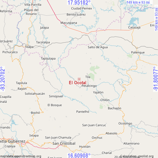
El Ocotal GPS coordinates[2]
17° 16' 54.012" North, 92° 30' 14.004" West
| Map corner | latitude | longitude |
|---|---|---|
| Upper-left | 17.95182°, | -93.20702° |
| Center: | 17.28167°, | -92.50389° |
| Lower-right: | 16.60908°, | -91.80077° |
| Map W x H: | 149.3×149.3 km | = 92.8×92.8mi |
| max Lat: | 32.7° ⇑85.5% North |
| El Ocotal: | 17.28167° |
| min Lat: | ⇓14.5% South 14.53588° |
| min Long | El Ocotal | max Long |
| -117.105° | -92.50389° | -86.73105° |
| W 91.8%⇐ | ⇒8.2% E |
Elevation
Elevation of El Ocotal is 1017 m = 3337 ft, and this is 236.7 m = 777 ft below average elevation for this country.
| Max E: |
3497 m = 11473 ft | 59.7% |
| Avg. | 1253.7 m = 4113 ft | |
| El Ocotal | 1017 m = 3337 ft | |
Min E: |
-1 m = -3 ft | 40.3% |
See also: Mexico elevation on elevation.city.
Geographical zone
El Ocotal is located in North Torrid zone (between Equator and Tropic of Cancer). Distance of this Northern Tropic circle is 684.4 km =425.3 mi to North.| Distance of | km | miles | from El Ocotal |
|---|---|---|---|
| North Pole | 8085.5 | 5024.1 | to North |
| Arctic Circle | 5479.6 | 3404.9 | to North |
| Tropic Cancer | 684.4 | 425.3 | to North |
| Equator | 1921.5 | 1194 | to South |


Nearby cities:
15 places around El Ocotal: (largest is in red/bold)
• Buenavista
6.7 km =4.2 mi,  201°
201°
• Chinintié
4 km =2.5 mi,  166°
166°
• Chulum Juárez
6.4 km =4 mi,  330°
330°
• Coquija
1.9 km =1.2 mi,  91°
91°
• El Paraíso
6.9 km =4.3 mi,  235°
235°
• Joljá
8.6 km =5.3 mi,  176°
176°
• Jolpokitioc
5.8 km =3.6 mi,  99°
99°
• Jolsibaquil
3.4 km =2.1 mi,  135°
135°
• La Revolución
2.4 km =1.5 mi,  306°
306°
• Nueva Esperanza
6.4 km =4 mi,  126°
126°
• Sabanilla
5.2 km =3.2 mi,  272°
272°
• Shoctic
6.7 km =4.2 mi, 165°
• Tila
8.4 km =5.2 mi,  75°
75°
• Tiontiepa Benito Juárez
3.3 km =2.1 mi,  56°
56°
• Yok Pokitiok
6.9 km =4.3 mi,  112°
112°
Sources, notices
• [Note1] Compared only with cities in Mexico existing in our database
• [Src1] Map data: © OpenStreetMap contributors (CC-BY-SA)
• [Src2] Other city data from geonames.org with taken over terms of usage.
• [Src3] Geographical zone / Annual Mean Temperature by Robert A. Rohde @ Wikipedia
