La Loma geodata
La Loma (Tabasco) is a populated place; located in Mexico in America/Mexico_City (GMT-6) time zone. With population of 657 people, there are 13209 cities with bigger population in this country. Compared to other cities in Mexico, 76.6% of cities are located further ↑North; 89.8% of cities are located further ←West and 97% of cities have higher elevation than La Loma. Note1


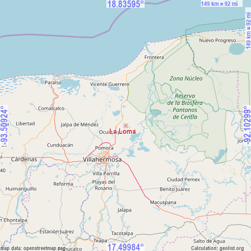
La Loma GPS coordinates[2]
18° 10' 9.012" North, 92° 48' 21.996" West
| Map corner | latitude | longitude |
|---|---|---|
| Upper-left | 18.83595°, | -93.50924° |
| Center: | 18.16917°, | -92.80611° |
| Lower-right: | 17.49984°, | -92.10299° |
| Map W x H: | 148.6×148.6 km | = 92.3×92.3mi |
| max Lat: | 32.7° ⇑76.6% North |
| La Loma: | 18.16917° |
| min Lat: | ⇓23.4% South 14.53588° |
| min Long | La Loma | max Long |
| -117.105° | -92.80611° | -86.73105° |
| W 89.8%⇐ | ⇒10.2% E |
Elevation
Elevation of La Loma is 10 m = 33 ft, and this is 1243.7 m = 4080 ft below average elevation for this country.
| Max E: |
3497 m = 11473 ft | 97% |
| Avg. | 1253.7 m = 4113 ft | |
| La Loma | 10 m = 33 ft | |
Min E: |
-1 m = -3 ft | 3% |
See also: Mexico elevation on elevation.city.
Geographical zone
La Loma is located in North Torrid zone (between Equator and Tropic of Cancer). Distance of this Northern Tropic circle is 585.7 km =363.9 mi to North.| Distance of | km | miles | from La Loma |
|---|---|---|---|
| North Pole | 7986.8 | 4962.8 | to North |
| Arctic Circle | 5381 | 3343.6 | to North |
| Tropic Cancer | 585.7 | 363.9 | to North |
| Equator | 2020.2 | 1255.3 | to South |


Nearby cities:
15 places around La Loma: (largest is in red/bold)
• Banderas (Guatacalca 2da. Sección)
10 km =6.2 mi,  258°
258°
• Buena Vista 1ra. Sección
6.6 km =4.1 mi,  115°
115°
• Chicozapote
12.7 km =7.9 mi,  292°
292°
• El Alambrado
1.8 km =1.1 mi, 118°
• Fraccionamiento Ocuiltzapotlán Dos
9.3 km =5.8 mi,  224°
224°
• Francisco I. Madero 1ra. Sección
7.3 km =4.5 mi, 219°
• Jolochero 2da. Sección
5.5 km =3.4 mi,  171°
171°
• La Ceiba
4 km =2.5 mi,  132°
132°
• La Manga
5 km =3.1 mi, 122°
• Macultepec
6.2 km =3.9 mi,  250°
250°
• Medellín y Madero Segunda Sección
8 km =5 mi, 219°
• Miramar
6.2 km =3.9 mi, 128°
• Paso Real de la Victoria
8.1 km =5 mi,  243°
243°
• Rovirosa
4.3 km =2.7 mi,  104°
104°
• Tamulte de las Sabanas
2.5 km =1.6 mi,  109°
109°
Sources, notices
• [Note1] Compared only with cities in Mexico existing in our database
• [Src1] Map data: © OpenStreetMap contributors (CC-BY-SA)
• [Src2] Other city data from geonames.org with taken over terms of usage.
• [Src3] Geographical zone / Annual Mean Temperature by Robert A. Rohde @ Wikipedia
