Pablogco geodata
Pablogco (Puebla) is a populated place; located in Mexico in America/Mexico_City (GMT-6) time zone. With population of 577 people, there are 14851 cities with bigger population in this country. Compared to other cities in Mexico, 52.8% of cities are located further ↓South; 69.7% of cities are located further ←West and 79.7% of cities have lower elevation than Pablogco. Note1


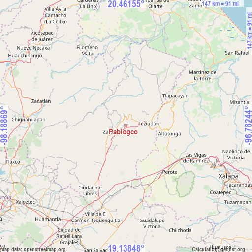
Pablogco GPS coordinates[2]
19° 48' 5.004" North, 97° 29' 8.016" West
| Map corner | latitude | longitude |
|---|---|---|
| Upper-left | 20.46155°, | -98.18869° |
| Center: | 19.80139°, | -97.48556° |
| Lower-right: | 19.13848°, | -96.78244° |
| Map W x H: | 147.1×147.1 km | = 91.4×91.4mi |
| max Lat: | 32.7° ⇑47.2% North |
| Pablogco: | 19.80139° |
| min Lat: | ⇓52.8% South 14.53588° |
| min Long | Pablogco | max Long |
| -117.105° | -97.48556° | -86.73105° |
| W 69.7%⇐ | ⇒30.3% E |
Elevation
Elevation of Pablogco is 2134 m = 7001 ft, and this is 880.3 m = 2888 ft above average elevation for this country.
| Max E: |
3497 m = 11473 ft | 20.3% |
| Pablogco | 2134 m 7001 ft | |
| Avg. | 1253.7 m = 4113 ft | |
Min E: |
-1 m = -3 ft | 79.7% |
See also: Mexico elevation on elevation.city.
Geographical zone
Pablogco is located in North Torrid zone (between Equator and Tropic of Cancer). Distance of this Northern Tropic circle is 404.2 km =251.2 mi to North.| Distance of | km | miles | from Pablogco |
|---|---|---|---|
| North Pole | 7805.4 | 4850 | to North |
| Arctic Circle | 5199.5 | 3230.8 | to North |
| Tropic Cancer | 404.2 | 251.2 | to North |
| Equator | 2201.7 | 1368.1 | to South |


Nearby cities:
15 places around Pablogco: (largest is in red/bold)
• Ajocotzingo
1.6 km =1 mi,  14°
14°
• Apatauyan
4.3 km =2.7 mi,  93°
93°
• Atioyan
2.9 km =1.8 mi,  142°
142°
• El Mirador
4.1 km =2.5 mi,  308°
308°
• Gómez Oriente
2.7 km =1.7 mi,  168°
168°
• Gómez Poniente
3.2 km =2 mi,  182°
182°
• Las Canoas
4.4 km =2.7 mi,  69°
69°
• Ocota
2.3 km =1.4 mi,  328°
328°
• San Ambrosio
4.6 km =2.9 mi,  63°
63°
• Tanhuixco
2.9 km =1.8 mi,  41°
41°
• Tepeteno de Iturbide
1.4 km =0.9 mi,  243°
243°
• Tezhuatepec
2.7 km =1.7 mi, 64°
• Tochimpa
3.8 km =2.4 mi, 325°
• Tzinacantepec
1.9 km =1.2 mi,  323°
323°
• Xonocuautla
3.5 km =2.2 mi,  246°
246°
Sources, notices
• [Note1] Compared only with cities in Mexico existing in our database
• [Src1] Map data: © OpenStreetMap contributors (CC-BY-SA)
• [Src2] Other city data from geonames.org with taken over terms of usage.
• [Src3] Geographical zone / Annual Mean Temperature by Robert A. Rohde @ Wikipedia
