Lith geodata
Lith (North Brabant) is a populated place; located in Netherlands in Europe/Amsterdam (GMT+2) time zone. With population of 2,895 people, there are 773 cities with bigger population in this country. Compared to other cities in Netherlands, 64.4% of cities are located further ↑North; 59.1% of cities are located further →East and 50.6% of cities have higher elevation than Lith. Note1


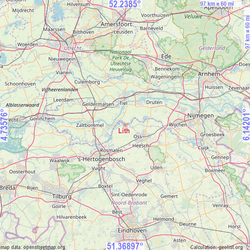
Lith GPS coordinates[2]
51° 48' 20.988" North, 5° 26' 20.004" East
| Map corner | latitude | longitude |
|---|---|---|
| Upper-left | 52.2385°, | 4.73576° |
| Center: | 51.80583°, | 5.43889° |
| Lower-right: | 51.36897°, | 6.14201° |
| Map W x H: | 96.7×96.7 km | = 60.1×60.1mi |
| max Lat: | 53.48025° ⇑64.4% North |
| Lith: | 51.80583° |
| min Lat: | ⇓35.6% South 50.76917° |
| min Long | Lith | max Long |
| 3.38611° | 5.43889° | 7.16528° |
| W 40.9%⇐ | ⇒59.1% E |
Elevation
Elevation of Lith is 6 m = 20 ft, and this is 9 m = 30 ft below average elevation for this country.
| Max E: |
203 m = 666 ft | 50.6% |
| Avg. | 15 m = 49 ft | |
| Lith | 6 m = 20 ft | |
Min E: |
-6 m = -20 ft | 49.4% |
See also: Netherlands elevation on elevation.city.
Geographical zone
Lith is located in North temperate zone (between Tropic of Cancer and the Arctic Circle). Distance of this North polar circle is 1640.9 km =1019.6 mi to North.| Distance of | km | miles | from Lith |
|---|---|---|---|
| North Pole | 4246.8 | 2638.8 | to North |
| Arctic Circle | 1640.9 | 1019.6 | to North |
| Tropic Cancer | 3154.3 | 1960 | to South |
| Equator | 5760.3 | 3579.3 | to South |


Nearby cities:
15 places around Lith: (largest is in red/bold)
• Alem
6.9 km =4.3 mi,  252°
252°
• Amsteleind
6.1 km =3.8 mi,  136°
136°
• Geffen
7.5 km =4.7 mi,  166°
166°
• Heerewaarden
3.4 km =2.1 mi,  292°
292°
• Heeseind
7.9 km =4.9 mi,  188°
188°
• Heihoek
6.6 km =4.1 mi, 141°
• Kerkdriel
8.1 km =5 mi,  242°
242°
• Lithoijen
1.8 km =1.1 mi,  102°
102°
• Macharen
7.3 km =4.5 mi,  90°
90°
• Maren-Kessel
3.3 km =2.1 mi, 250°
• Oijen
4.8 km =3 mi,  65°
65°
• Ophemert
5.6 km =3.5 mi,  320°
320°
• Oss
7.1 km =4.4 mi,  129°
129°
• Rossum
7.3 km =4.5 mi,  265°
265°
• Varik
5.1 km =3.2 mi, 292°
Sources, notices
• [Note1] Compared only with cities in Netherlands existing in our database
• [Src1] Map data: © OpenStreetMap contributors (CC-BY-SA)
• [Src2] Other city data from geonames.org with taken over terms of usage.
• [Src3] Geographical zone / Annual Mean Temperature by Robert A. Rohde @ Wikipedia
