Brukske geodata
Brukske (Limburg) is a section of populated place; located in Netherlands in Europe/Amsterdam (GMT+2) time zone. With population of 4,955 people, there are 488 cities with bigger population in this country. Compared to other cities in Netherlands, 79% of cities are located further ↑North; 72.2% of cities are located further ←West and 85.2% of cities have lower elevation than Brukske. Note1


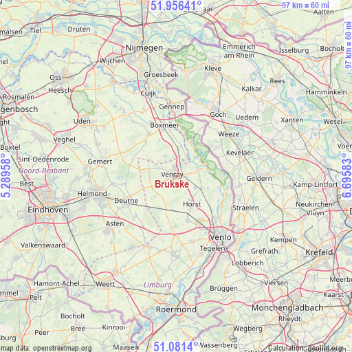
Brukske GPS coordinates[2]
51° 31' 15.636" North, 5° 59' 33.72" East
| Map corner | latitude | longitude |
|---|---|---|
| Upper-left | 51.95641°, | 5.28958° |
| Center: | 51.52101°, | 5.9927° |
| Lower-right: | 51.0814°, | 6.69583° |
| Map W x H: | 97.3×97.3 km | = 60.5×60.5mi |
| max Lat: | 53.48025° ⇑79% North |
| Brukske: | 51.52101° |
| min Lat: | ⇓21% South 50.76917° |
| min Long | Brukske | max Long |
| 3.38611° | 5.9927° | 7.16528° |
| W 72.2%⇐ | ⇒27.8% E |
Elevation
Elevation of Brukske is 27 m = 89 ft, and this is 12 m = 39 ft above average elevation for this country.
| Max E: |
203 m = 666 ft | 14.8% |
| Brukske | 27 m 89 ft | |
| Avg. | 15 m = 49 ft | |
Min E: |
-6 m = -20 ft | 85.2% |
See also: Netherlands elevation on elevation.city.
Geographical zone
Brukske is located in North temperate zone (between Tropic of Cancer and the Arctic Circle). Distance of this North polar circle is 1672.6 km =1039.3 mi to North.| Distance of | km | miles | from Brukske |
|---|---|---|---|
| North Pole | 4278.5 | 2658.5 | to North |
| Arctic Circle | 1672.6 | 1039.3 | to North |
| Tropic Cancer | 3122.7 | 1940.4 | to South |
| Equator | 5728.6 | 3559.6 | to South |


Nearby cities:
15 places around Brukske: (largest is in red/bold)
• Brabander
2.4 km =1.5 mi,  314°
314°
• Castenray
4.6 km =2.9 mi,  140°
140°
• Leunen
1.5 km =0.9 mi,  217°
217°
• Meerlo
6.4 km =4 mi,  97°
97°
• Merselo
4.6 km =2.9 mi,  282°
282°
• Oirlo
3.3 km =2.1 mi,  108°
108°
• Oostrum
1.9 km =1.2 mi,  61°
61°
• Overloon
6.5 km =4 mi,  330°
330°
• Tienray
7.5 km =4.7 mi, 112°
• Veltum
2.2 km =1.4 mi,  265°
265°
• Venray
1.3 km =0.8 mi,  289°
289°
• Veulen
5.1 km =3.2 mi,  212°
212°
• Wanssum
6 km =3.7 mi,  74°
74°
• Well
7.4 km =4.6 mi, 64°
• Ysselsteyn
7.5 km =4.7 mi,  242°
242°
Sources, notices
• [Note1] Compared only with cities in Netherlands existing in our database
• [Src1] Map data: © OpenStreetMap contributors (CC-BY-SA)
• [Src2] Other city data from geonames.org with taken over terms of usage.
• [Src3] Geographical zone / Annual Mean Temperature by Robert A. Rohde @ Wikipedia
