Ashburton geodata
Ashburton (Canterbury) is a populated place; located in New Zealand in Pacific/Auckland (GMT+12) time zone. With population of 30,100 people, there are 23 cities with bigger population in this country. Compared to other cities in New Zealand, 83.1% of cities are located further ↑North; 79.7% of cities are located further →East and 77.3% of cities have lower elevation than Ashburton. Note1


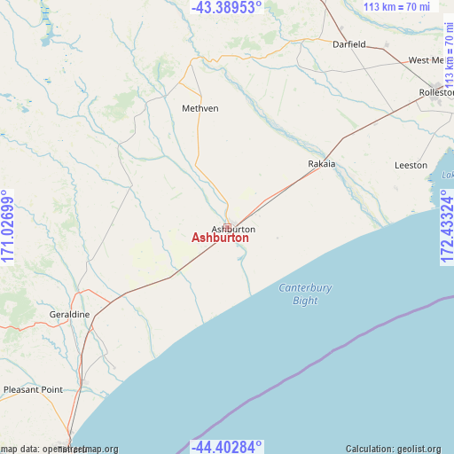
Ashburton GPS coordinates[2]
43° 53' 54.024" South, 171° 43' 48.396" East
| Map corner | latitude | longitude |
|---|---|---|
| Upper-left | -43.38953°, | 171.02699° |
| Center: | -43.89834°, | 171.73011° |
| Lower-right: | -44.40284°, | 172.43324° |
| Map W x H: | 112.7×112.7 km | = 70×70mi |
| max Lat: | -34.99604° ⇑83.1% North |
| Ashburton: | -43.89834° |
| min Lat: | ⇓16.9% South -46.6° |
| min Long | Ashburton | max Long |
| -176.55973° | 171.73011° | 178.33333° |
| W 20.3%⇐ | ⇒79.7% E |
Elevation
Elevation of Ashburton is 106 m = 348 ft, and this is 21.6 m = 71 ft above average elevation for this country.
| Max E: |
819 m = 2687 ft | 22.7% |
| Ashburton | 106 m 348 ft | |
| Avg. | 84.4 m = 277 ft | |
Min E: |
3 m = 10 ft | 77.3% |
See also: New Zealand elevation on elevation.city.
Geographical zone
Ashburton is located in South temperate zone (between Tropic of Capricorn and the Antarctic Circle). Distance of this Southern Tropic circle is 2275.1 km =1413.7 mi to North.| Distance of | km | miles | from Ashburton |
|---|---|---|---|
| Equator | 4881 | 3032.9 | to North |
| Tropic Capricorn | 2275.1 | 1413.7 | to North |
| Antarctic Circle | 2520.1 | 1565.9 | to South |
| South Pole | 5126 | 3185.1 | to South |


Nearby cities:
15 places around Ashburton: (largest is in red/bold)
• Burnham
56.6 km =35.2 mi,  56°
56°
• Darfield
55.6 km =34.5 mi,  33°
33°
• Fairlie
75.2 km =46.7 mi,  252°
252°
• Geraldine
44.3 km =27.5 mi,  241°
241°
• Leeston
48 km =29.8 mi,  72°
72°
• Lincoln
66.5 km =41.3 mi, 65°
• Methven
30.2 km =18.8 mi,  347°
347°
• Oxford
75.9 km =47.2 mi, 28°
• Pleasant Point
62.8 km =39 mi,  229°
229°
• Prebbleton
72.2 km =44.9 mi, 60°
• Rakaia
28.3 km =17.6 mi,  54°
54°
• Rolleston
63.1 km =39.2 mi, 56°
• Southbridge
42.7 km =26.5 mi,  77°
77°
• Timaru
67.2 km =41.8 mi,  214°
214°
• Tinwald
2.3 km =1.4 mi, 207°
Sources, notices
• [Note1] Compared only with cities in New Zealand existing in our database
• [Src1] Map data: © OpenStreetMap contributors (CC-BY-SA)
• [Src2] Other city data from geonames.org with taken over terms of usage.
• [Src3] Geographical zone / Annual Mean Temperature by Robert A. Rohde @ Wikipedia
