Timaru geodata
Timaru (Canterbury) is a populated place; located in New Zealand in Pacific/Auckland (GMT+12) time zone. With population of 28,007 people, there are 25 cities with bigger population in this country. Compared to other cities in New Zealand, 86% of cities are located further ↑North; 83.1% of cities are located further →East and 72.9% of cities have higher elevation than Timaru. Note1


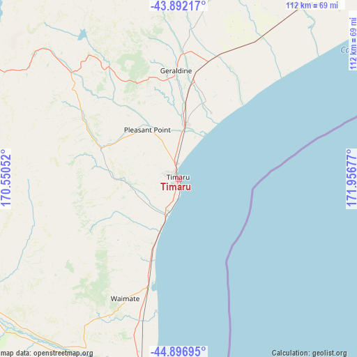
Timaru GPS coordinates[2]
44° 23' 48.192" South, 171° 15' 13.104" East
| Map corner | latitude | longitude |
|---|---|---|
| Upper-left | -43.89217°, | 170.55052° |
| Center: | -44.39672°, | 171.25364° |
| Lower-right: | -44.89695°, | 171.95677° |
| Map W x H: | 111.7×111.7 km | = 69.4×69.4mi |
| max Lat: | -34.99604° ⇑86% North |
| Timaru: | -44.39672° |
| min Lat: | ⇓14% South -46.6° |
| min Long | Timaru | max Long |
| -176.55973° | 171.25364° | 178.33333° |
| W 16.9%⇐ | ⇒83.1% E |
Elevation
Elevation of Timaru is 14 m = 46 ft, and this is 70.4 m = 231 ft below average elevation for this country.
| Max E: |
819 m = 2687 ft | 72.9% |
| Avg. | 84.4 m = 277 ft | |
| Timaru | 14 m = 46 ft | |
Min E: |
3 m = 10 ft | 27.1% |
See also: New Zealand elevation on elevation.city.
Geographical zone
Timaru is located in South temperate zone (between Tropic of Capricorn and the Antarctic Circle). Distance of this Southern Tropic circle is 2330.5 km =1448.1 mi to North.| Distance of | km | miles | from Timaru |
|---|---|---|---|
| Equator | 4936.5 | 3067.4 | to North |
| Tropic Capricorn | 2330.5 | 1448.1 | to North |
| Antarctic Circle | 2464.7 | 1531.5 | to South |
| South Pole | 5070.6 | 3150.7 | to South |


Nearby cities:
15 places around Timaru: (largest is in red/bold)
• Ashburton
67.2 km =41.8 mi,  34°
34°
• Burnham
121.4 km =75.4 mi,  44°
44°
• Darfield
122.8 km =76.3 mi, 34°
• Fairlie
47 km =29.2 mi,  314°
314°
• Geraldine
34 km =21.1 mi,  358°
358°
• Leeston
109.1 km =67.8 mi,  50°
50°
• Methven
90.6 km =56.3 mi,  20°
20°
• Oamaru
81.1 km =50.4 mi,  195°
195°
• Pareora
12.2 km =7.6 mi, 200°
• Pleasant Point
17.3 km =10.7 mi,  326°
326°
• Rakaia
94.3 km =58.6 mi, 40°
• Ranfurly
122.5 km =76.1 mi,  228°
228°
• Rolleston
127.9 km =79.5 mi, 44°
• Southbridge
102.4 km =63.6 mi, 50°
• Tinwald
64.9 km =40.3 mi, 34°
In other languages:
- In German: Timaru-Distrikt
- In Italian: Distretto di Timaru
- In Russian: Тимару
- In Chinese: 提馬魯
Sources, notices
• [Note1] Compared only with cities in New Zealand existing in our database
• [Src1] Map data: © OpenStreetMap contributors (CC-BY-SA)
• [Src2] Other city data from geonames.org with taken over terms of usage.
• [Src3] Geographical zone / Annual Mean Temperature by Robert A. Rohde @ Wikipedia
