Teahupoo geodata
Teahupoo (Îles du Vent) is a populated place; located in French Polynesia in Pacific/Tahiti (GMT-10) time zone. With population of 1,422 people, there are 29 cities with bigger population in this country. Compared to other cities in French Polynesia, 87.2% of cities are located further ↑North; 84.6% of cities are located further ←West and 97.4% of cities have lower elevation than Teahupoo. Note1


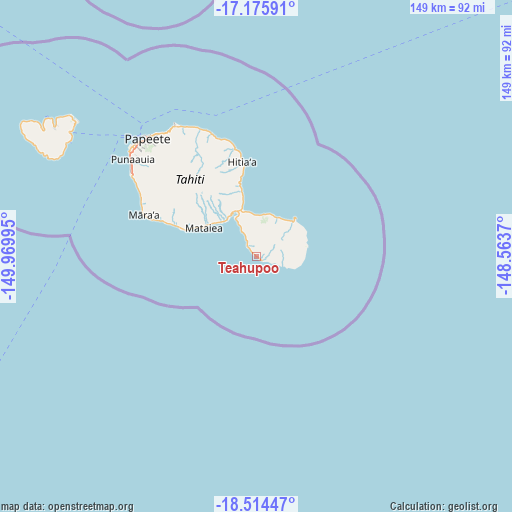
Teahupoo GPS coordinates[2]
17° 50' 47.22" South, 149° 16' 0.552" West
| Map corner | latitude | longitude |
|---|---|---|
| Upper-left | -17.17591°, | -149.96995° |
| Center: | -17.84645°, | -149.26682° |
| Lower-right: | -18.51447°, | -148.5637° |
| Map W x H: | 148.8×148.8 km | = 92.5×92.5mi |
| max Lat: | -8.91093° ⇑87.2% North |
| Teahupoo: | -17.84645° |
| min Lat: | ⇓12.8% South -23.34722° |
| min Long | Teahupoo | max Long |
| -151.74913° | -149.26682° | -134.96858° |
| W 84.6%⇐ | ⇒15.4% E |
Elevation
Elevation of Teahupoo is 122 m = 400 ft, and this is 99.4 m = 326 ft above average elevation for this country.
| Max E: |
245 m = 804 ft | 2.6% |
| Teahupoo | 122 m 400 ft | |
| Avg. | 22.6 m = 74 ft | |
Min E: |
1 m = 3 ft | 97.4% |
See also: French Polynesia elevation on elevation.city.
Geographical zone
Teahupoo is located in South Torrid zone (between Equator and Tropic of Capricorn). Distance of this Southern Tropic circle is 621.6 km =386.2 mi to South.| Distance of | km | miles | from Teahupoo |
|---|---|---|---|
| Equator | 1984.3 | 1233 | to North |
| Tropic Capricorn | 621.6 | 386.2 | to South |
| Antarctic Circle | 5416.8 | 3365.8 | to South |
| South Pole | 8022.7 | 4985.1 | to South |


Nearby cities:
15 places around Teahupoo: (largest is in red/bold)
• Afaahiti
12.9 km =8 mi,  331°
331°
• Arue
44.2 km =27.5 mi, 326°
• Faone
20.2 km =12.6 mi,  347°
347°
• Hitiaa
27.6 km =17.1 mi, 352°
• Mahaena
31.6 km =19.6 mi, 350°
• Otutara
17.6 km =10.9 mi,  298°
298°
• Paea
38.1 km =23.7 mi, 298°
• Papao
31.8 km =19.8 mi,  289°
289°
• Pueu
12.9 km =8 mi,  20°
20°
• Punaauia
42.5 km =26.4 mi, 303°
• Taunoa
14.2 km =8.8 mi,  318°
318°
• Tautira
15.7 km =9.8 mi,  45°
45°
• Tiarei
35.5 km =22.1 mi, 348°
• Tohautu
10.9 km =6.8 mi, 330°
• Vairao
7.2 km =4.5 mi, 346°
Sources, notices
• [Note1] Compared only with cities in French Polynesia existing in our database
• [Src1] Map data: © OpenStreetMap contributors (CC-BY-SA)
• [Src2] Other city data from geonames.org with taken over terms of usage.
• [Src3] Geographical zone / Annual Mean Temperature by Robert A. Rohde @ Wikipedia
