Arawa geodata
Arawa (Bougainville) is a seat of a second-order administrative division; located in Papua New Guinea in Pacific/Bougainville (GMT+11) time zone. With population of 40,266 people, there are 2 cities with bigger population in this country. Compared to other cities in Papua New Guinea, 59.1% of cities are located further ↑North; 95.5% of cities are located further ←West and 56.8% of cities have higher elevation than Arawa. Note1


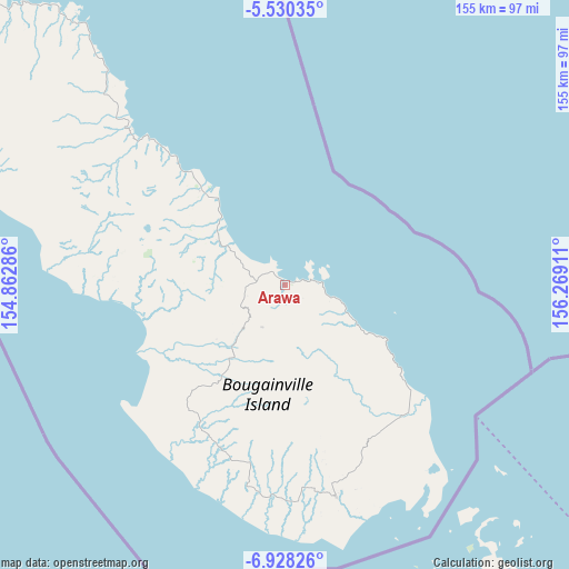
Arawa GPS coordinates[2]
6° 13' 47.172" South, 155° 33' 57.528" East
| Map corner | latitude | longitude |
|---|---|---|
| Upper-left | -5.53035°, | 154.86286° |
| Center: | -6.22977°, | 155.56598° |
| Lower-right: | -6.92826°, | 156.26911° |
| Map W x H: | 155.4×155.4 km | = 96.6×96.6mi |
| max Lat: | -2.0341° ⇑59.1% North |
| Arawa: | -6.22977° |
| min Lat: | ⇓40.9% South -10.61038° |
| min Long | Arawa | max Long |
| 141.29061° | 155.56598° | 155.69147° |
| W 95.5%⇐ | ⇒4.5% E |
Elevation
Elevation of Arawa is 28 m = 92 ft, and this is 553 m = 1814 ft below average elevation for this country.
| Max E: |
2248 m = 7375 ft | 56.8% |
| Avg. | 581 m = 1906 ft | |
| Arawa | 28 m = 92 ft | |
Min E: |
0 m = 0 ft | 43.2% |
See also: Arawa elevation on elevation.city.
Geographical zone
Arawa is located in South Torrid zone (between Equator and Tropic of Capricorn). Distance of Equator is 692.7 km =430.4 mi to North.| Distance of | km | miles | from Arawa |
|---|---|---|---|
| Equator | 692.7 | 430.4 | to North |
| Tropic Capricorn | 1913.2 | 1188.8 | to South |
| Antarctic Circle | 6708.5 | 4168.5 | to South |
| South Pole | 9314.4 | 5787.7 | to South |


Nearby cities:
6 places around Arawa: (largest is in red/bold)
• Buin
59.3 km =36.8 mi,  166°
166°
• Buka
132.9 km =82.6 mi,  311°
311°
• Kieta
7.5 km =4.7 mi,  77°
77°
• Kokopo
421 km =261.6 mi,  299°
299°
• Panguna
13.2 km =8.2 mi,  222°
222°
• Rabaul
439.2 km =272.9 mi, 300°
Sources, notices
• [Note1] Compared only with cities in Papua New Guinea existing in our database
• [Src1] Map data: © OpenStreetMap contributors (CC-BY-SA)
• [Src2] Other city data from geonames.org with taken over terms of usage.
• [Src3] Geographical zone / Annual Mean Temperature by Robert A. Rohde @ Wikipedia
