Tipo-Tipo geodata
Tipo-Tipo (Autonomous Region in Muslim Mindanao) is a seat of a third-order administrative division; located in Philippines in Asia/Manila (GMT+8) time zone. With population of 2,981 people, there are 2550 cities with bigger population in this country. Compared to other cities in Philippines, 95.1% of cities are located further ↑North; 58.2% of cities are located further →East and 90.5% of cities have lower elevation than Tipo-Tipo. Note1
Administrative division(s):
- Level 1: Autonomous Region in Muslim Mindanao
- Level 2: Province of Basilan
- Level 3: Tipo-Tipo


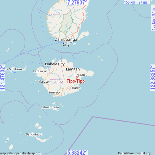
Tipo-Tipo GPS coordinates[2]
6° 34' 53.004" North, 122° 10' 45.984" East
| Map corner | latitude | longitude |
|---|---|---|
| Upper-left | 7.27937°, | 121.47632° |
| Center: | 6.58139°, | 122.17944° |
| Lower-right: | 5.88242°, | 122.88257° |
| Map W x H: | 155.3×155.3 km | = 96.5×96.5mi |
| max Lat: | 20.78733° ⇑95.1% North |
| Tipo-Tipo: | 6.58139° |
| min Lat: | ⇓4.9% South 4.65442° |
| min Long | Tipo-Tipo | max Long |
| 117.04868° | 122.17944° | 126.58417° |
| W 41.8%⇐ | ⇒58.2% E |
Elevation
Elevation of Tipo-Tipo is 238 m = 781 ft, and this is 150.1 m = 492 ft above average elevation for this country.
| Max E: |
2262 m = 7421 ft | 9.5% |
| Tipo-Tipo | 238 m 781 ft | |
| Avg. | 87.9 m = 288 ft | |
Min E: |
-2 m = -7 ft | 90.5% |
See also: Philippines elevation on elevation.city.
Geographical zone
Tipo-Tipo is located in North Torrid zone (between Equator and Tropic of Cancer). Distance of Equator is 731.8 km =454.7 mi to South.| Distance of | km | miles | from Tipo-Tipo |
|---|---|---|---|
| North Pole | 9275.3 | 5763.4 | to North |
| Arctic Circle | 6669.4 | 4144.2 | to North |
| Tropic Cancer | 1874.1 | 1164.5 | to North |
| Equator | 731.8 | 454.7 | to South |


Nearby cities:
15 places around Tipo-Tipo: (largest is in red/bold)
• Balas
12.7 km =7.9 mi,  338°
338°
• Begang
21.7 km =13.5 mi,  304°
304°
• City of Isabela
26.7 km =16.6 mi, 300°
• Colonia
7.3 km =4.5 mi, 340°
• Guiong
24.8 km =15.4 mi,  223°
223°
• Lamitan City
9.4 km =5.8 mi,  324°
324°
• Maluso
33.9 km =21.1 mi,  262°
262°
• Santa Clara
17 km =10.6 mi,  309°
309°
• Semut
10.1 km =6.3 mi,  25°
25°
• Sumisip
29.2 km =18.1 mi,  231°
231°
• Tablas
5.3 km =3.3 mi,  354°
354°
• Tairan Camp
38.1 km =23.7 mi,  279°
279°
• Tigtabon
35 km =21.7 mi,  357°
357°
• Tuburan
12.5 km =7.8 mi,  56°
56°
• Zamboanga
38.4 km =23.9 mi, 342°
Sources, notices
• [Note1] Compared only with cities in Philippines existing in our database
• [Src1] Map data: © OpenStreetMap contributors (CC-BY-SA)
• [Src2] Other city data from geonames.org with taken over terms of usage.
• [Src3] Geographical zone / Annual Mean Temperature by Robert A. Rohde @ Wikipedia
