Pintuyan geodata
Pintuyan (Eastern Visayas) is a seat of a third-order administrative division; located in Philippines in Asia/Manila (GMT+8) time zone. In our database, there are 4166 cities with bigger population. Compared to other cities in Philippines, 68.9% of cities are located further ↑North; 90.7% of cities are located further ←West and 50.3% of cities have higher elevation than Pintuyan. Note1
Administrative division(s):
- Level 1: Eastern Visayas
- Level 2: Province of Southern Leyte
- Level 3: Pintuyan


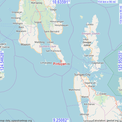
Pintuyan GPS coordinates[2]
9° 56' 38.76" North, 125° 14' 57.84" East
| Map corner | latitude | longitude |
|---|---|---|
| Upper-left | 10.63591°, | 124.54628° |
| Center: | 9.9441°, | 125.2494° |
| Lower-right: | 9.25082°, | 125.95253° |
| Map W x H: | 154×154 km | = 95.7×95.7mi |
| max Lat: | 20.78733° ⇑68.9% North |
| Pintuyan: | 9.9441° |
| min Lat: | ⇓31.1% South 4.65442° |
| min Long | Pintuyan | max Long |
| 117.04868° | 125.2494° | 126.58417° |
| W 90.7%⇐ | ⇒9.3% E |
Elevation
Elevation of Pintuyan is 23 m = 75 ft, and this is 64.9 m = 213 ft below average elevation for this country.
| Max E: |
2262 m = 7421 ft | 50.3% |
| Avg. | 87.9 m = 288 ft | |
| Pintuyan | 23 m = 75 ft | |
Min E: |
-2 m = -7 ft | 49.7% |
See also: Philippines elevation on elevation.city.
Geographical zone
Pintuyan is located in North Torrid zone (between Equator and Tropic of Cancer). Distance of Equator is 1105.7 km =687 mi to South.| Distance of | km | miles | from Pintuyan |
|---|---|---|---|
| North Pole | 8901.4 | 5531.1 | to North |
| Arctic Circle | 6295.5 | 3911.8 | to North |
| Tropic Cancer | 1500.2 | 932.2 | to North |
| Equator | 1105.7 | 687 | to South |


Nearby cities:
15 places around Pintuyan: (largest is in red/bold)
• Basilisa
28.1 km =17.5 mi,  77°
77°
• Ipil
26.8 km =16.7 mi,  129°
129°
• Liloan
27.8 km =17.3 mi,  328°
328°
• Luna
35.6 km =22.1 mi, 130°
• Mabua
26.1 km =16.2 mi, 126°
• Macrohon
36.8 km =22.9 mi,  294°
294°
• Malitbog
36.4 km =22.6 mi,  311°
311°
• Mati
33.3 km =20.7 mi, 134°
• Padre Burgos
27.2 km =16.9 mi, 292°
• Rizal
29.8 km =18.5 mi, 127°
• San Francisco
16.1 km =10 mi,  322°
322°
• San Francisco
26.7 km =16.6 mi, 134°
• San Juan
36.8 km =22.9 mi,  347°
347°
• San Ricardo
4.6 km =2.9 mi,  139°
139°
• Surigao
32 km =19.9 mi,  122°
122°
Sources, notices
• [Note1] Compared only with cities in Philippines existing in our database
• [Src1] Map data: © OpenStreetMap contributors (CC-BY-SA)
• [Src2] Other city data from geonames.org with taken over terms of usage.
• [Src3] Geographical zone / Annual Mean Temperature by Robert A. Rohde @ Wikipedia
