Cawayan geodata
Cawayan (Central Visayas) is a populated place; located in Philippines in Asia/Manila (GMT+8) time zone. With population of 2,705 people, there are 2936 cities with bigger population in this country. Compared to other cities in Philippines, 70.3% of cities are located further ↑North; 62.9% of cities are located further ←West and 62.8% of cities have higher elevation than Cawayan. Note1


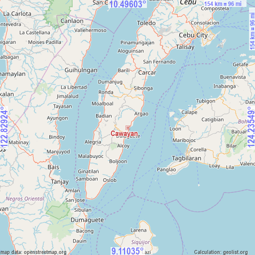
Cawayan GPS coordinates[2]
9° 48' 14.076" North, 123° 31' 56.496" East
| Map corner | latitude | longitude |
|---|---|---|
| Upper-left | 10.49603°, | 122.82924° |
| Center: | 9.80391°, | 123.53236° |
| Lower-right: | 9.11035°, | 124.23549° |
| Map W x H: | 154.1×154.1 km | = 95.8×95.8mi |
| max Lat: | 20.78733° ⇑70.3% North |
| Cawayan: | 9.80391° |
| min Lat: | ⇓29.7% South 4.65442° |
| min Long | Cawayan | max Long |
| 117.04868° | 123.53236° | 126.58417° |
| W 62.9%⇐ | ⇒37.1% E |
Elevation
Elevation of Cawayan is 15 m = 49 ft, and this is 72.9 m = 239 ft below average elevation for this country.
| Max E: |
2262 m = 7421 ft | 62.8% |
| Avg. | 87.9 m = 288 ft | |
| Cawayan | 15 m = 49 ft | |
Min E: |
-2 m = -7 ft | 37.2% |
See also: Philippines elevation on elevation.city.
Geographical zone
Cawayan is located in North Torrid zone (between Equator and Tropic of Cancer). Distance of Equator is 1090.1 km =677.4 mi to South.| Distance of | km | miles | from Cawayan |
|---|---|---|---|
| North Pole | 8917 | 5540.8 | to North |
| Arctic Circle | 6311.1 | 3921.5 | to North |
| Tropic Cancer | 1515.8 | 941.9 | to North |
| Equator | 1090.1 | 677.4 | to South |


Nearby cities:
15 places around Cawayan: (largest is in red/bold)
• Alcoy
10.8 km =6.7 mi,  195°
195°
• Argao
10.9 km =6.8 mi,  39°
39°
• Badian
16.4 km =10.2 mi,  294°
294°
• Binlod
15.2 km =9.4 mi,  32°
32°
• Bogo
6.8 km =4.2 mi, 30°
• Cansuje
13.8 km =8.6 mi,  343°
343°
• Casay
2.6 km =1.6 mi,  45°
45°
• Dalaguete
4.8 km =3 mi,  176°
176°
• Jampang
13.7 km =8.5 mi, 32°
• Langtad
12.5 km =7.8 mi, 39°
• Mantalongon
7.8 km =4.8 mi,  275°
275°
• Nugas
15.5 km =9.6 mi,  219°
219°
• Obong
7.4 km =4.6 mi, 199°
• Tabon
8.3 km =5.2 mi,  270°
270°
• Tapon
3.7 km =2.3 mi,  189°
189°
Sources, notices
• [Note1] Compared only with cities in Philippines existing in our database
• [Src1] Map data: © OpenStreetMap contributors (CC-BY-SA)
• [Src2] Other city data from geonames.org with taken over terms of usage.
• [Src3] Geographical zone / Annual Mean Temperature by Robert A. Rohde @ Wikipedia
