Guibodangan geodata
Guibodangan (Central Visayas) is a populated place; located in Philippines in Asia/Manila (GMT+8) time zone. With population of 2,209 people, there are 3870 cities with bigger population in this country. Compared to other cities in Philippines, 67.2% of cities are located further ↑North; 62% of cities are located further ←West and 80.7% of cities have higher elevation than Guibodangan. Note1


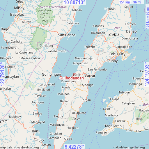
Guibodangan GPS coordinates[2]
10° 6' 56.52" North, 123° 29' 39.84" East
| Map corner | latitude | longitude |
|---|---|---|
| Upper-left | 10.80713°, | 122.79128° |
| Center: | 10.1157°, | 123.4944° |
| Lower-right: | 9.42278°, | 124.19753° |
| Map W x H: | 153.9×153.9 km | = 95.6×95.6mi |
| max Lat: | 20.78733° ⇑67.2% North |
| Guibodangan: | 10.1157° |
| min Lat: | ⇓32.8% South 4.65442° |
| min Long | Guibodangan | max Long |
| 117.04868° | 123.4944° | 126.58417° |
| W 62%⇐ | ⇒38% E |
Elevation
Elevation of Guibodangan is 9 m = 30 ft, and this is 78.9 m = 259 ft below average elevation for this country.
| Max E: |
2262 m = 7421 ft | 80.7% |
| Avg. | 87.9 m = 288 ft | |
| Guibodangan | 9 m = 30 ft | |
Min E: |
-2 m = -7 ft | 19.3% |
See also: Philippines elevation on elevation.city.
Geographical zone
Guibodangan is located in North Torrid zone (between Equator and Tropic of Cancer). Distance of Equator is 1124.8 km =698.9 mi to South.| Distance of | km | miles | from Guibodangan |
|---|---|---|---|
| North Pole | 8882.3 | 5519.2 | to North |
| Arctic Circle | 6276.4 | 3900 | to North |
| Tropic Cancer | 1481.2 | 920.4 | to North |
| Equator | 1124.8 | 698.9 | to South |


Nearby cities:
15 places around Guibodangan: (largest is in red/bold)
• Aloguinsan
13.2 km =8.2 mi,  26°
26°
• Barili
1.7 km =1.1 mi,  92°
92°
• Bitoon
5.5 km =3.4 mi,  224°
224°
• Bonbon
13.9 km =8.6 mi, 29°
• Buenavista
13.6 km =8.5 mi,  59°
59°
• Cogon
9.8 km =6.1 mi,  206°
206°
• Dumanjog
9.1 km =5.7 mi, 224°
• Guadalupe
12.3 km =7.6 mi, 89°
• Japitan
1.7 km =1.1 mi,  36°
36°
• Mantalongon
9.5 km =5.9 mi,  83°
83°
• Minolos
2.8 km =1.7 mi,  237°
237°
• Santa Cruz
15 km =9.3 mi, 216°
• Tapon
7.9 km =4.9 mi, 222°
• Tubod-dugoan
8 km =5 mi,  176°
176°
• Valencia
13.1 km =8.1 mi, 80°
Sources, notices
• [Note1] Compared only with cities in Philippines existing in our database
• [Src1] Map data: © OpenStreetMap contributors (CC-BY-SA)
• [Src2] Other city data from geonames.org with taken over terms of usage.
• [Src3] Geographical zone / Annual Mean Temperature by Robert A. Rohde @ Wikipedia
