General Luna geodata
General Luna (Calabarzon) is a populated place; located in Philippines in Asia/Manila (GMT+8) time zone. With population of 9,177 people, there are 671 cities with bigger population in this country. Compared to other cities in Philippines, 64.2% of cities are located further ↓South; 58.3% of cities are located further →East and 92.7% of cities have higher elevation than General Luna. Note1


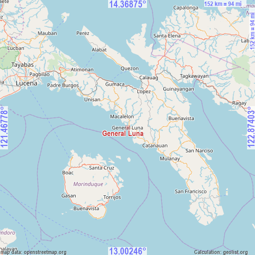
General Luna GPS coordinates[2]
13° 41' 11.76" North, 122° 10' 15.24" East
| Map corner | latitude | longitude |
|---|---|---|
| Upper-left | 14.36875°, | 121.46778° |
| Center: | 13.6866°, | 122.1709° |
| Lower-right: | 13.00246°, | 122.87403° |
| Map W x H: | 151.9×151.9 km | = 94.4×94.4mi |
| max Lat: | 20.78733° ⇑35.8% North |
| General Luna: | 13.6866° |
| min Lat: | ⇓64.2% South 4.65442° |
| min Long | General Luna | max Long |
| 117.04868° | 122.1709° | 126.58417° |
| W 41.7%⇐ | ⇒58.3% E |
Elevation
Elevation of General Luna is 6 m = 20 ft, and this is 81.9 m = 269 ft below average elevation for this country.
| Max E: |
2262 m = 7421 ft | 92.7% |
| Avg. | 87.9 m = 288 ft | |
| General Luna | 6 m = 20 ft | |
Min E: |
-2 m = -7 ft | 7.3% |
See also: Philippines elevation on elevation.city.
Geographical zone
General Luna is located in North Torrid zone (between Equator and Tropic of Cancer). Distance of this Northern Tropic circle is 1084.1 km =673.6 mi to North.| Distance of | km | miles | from General Luna |
|---|---|---|---|
| North Pole | 8485.3 | 5272.5 | to North |
| Arctic Circle | 5879.4 | 3653.3 | to North |
| Tropic Cancer | 1084.1 | 673.6 | to North |
| Equator | 1521.8 | 945.6 | to South |


Nearby cities:
15 places around General Luna: (largest is in red/bold)
• Camohaguin
24.7 km =15.3 mi,  358°
358°
• Catanauan
19.3 km =12 mi,  122°
122°
• Lopez
24 km =14.9 mi,  23°
23°
• Mabunga
22.6 km =14 mi,  330°
330°
• Macalelon
7.6 km =4.7 mi, 332°
• Madulao
22.6 km =14 mi,  125°
125°
• Panikihan
25 km =15.5 mi,  350°
350°
• Pitogo
13.9 km =8.6 mi,  321°
321°
• Rosario
22.6 km =14 mi,  29°
29°
• San Francisco
17.1 km =10.6 mi,  47°
47°
• San Isidro
9.8 km =6.1 mi, 127°
• San Vicente
23.6 km =14.7 mi,  8°
8°
• Tagbacan Ibaba
23.3 km =14.5 mi,  113°
113°
• Tayabas Ibaba
13.9 km =8.6 mi, 120°
• Tuhian
8.8 km =5.5 mi,  144°
144°
Sources, notices
• [Note1] Compared only with cities in Philippines existing in our database
• [Src1] Map data: © OpenStreetMap contributors (CC-BY-SA)
• [Src2] Other city data from geonames.org with taken over terms of usage.
• [Src3] Geographical zone / Annual Mean Temperature by Robert A. Rohde @ Wikipedia
