Carriedo geodata
Carriedo (Bicol) is a populated place; located in Philippines in Asia/Manila (GMT+8) time zone. With population of 2,091 people, there are 4086 cities with bigger population in this country. Compared to other cities in Philippines, 57% of cities are located further ↓South; 72.9% of cities are located further ←West and 62.8% of cities have higher elevation than Carriedo. Note1


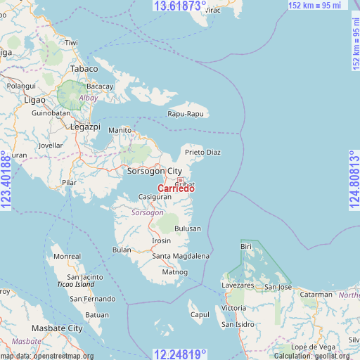
Carriedo GPS coordinates[2]
12° 56' 3.84" North, 124° 6' 18" East
| Map corner | latitude | longitude |
|---|---|---|
| Upper-left | 13.61873°, | 123.40188° |
| Center: | 12.9344°, | 124.105° |
| Lower-right: | 12.24819°, | 124.80813° |
| Map W x H: | 152.4×152.4 km | = 94.7×94.7mi |
| max Lat: | 20.78733° ⇑43% North |
| Carriedo: | 12.9344° |
| min Lat: | ⇓57% South 4.65442° |
| min Long | Carriedo | max Long |
| 117.04868° | 124.105° | 126.58417° |
| W 72.9%⇐ | ⇒27.1% E |
Elevation
Elevation of Carriedo is 15 m = 49 ft, and this is 72.9 m = 239 ft below average elevation for this country.
| Max E: |
2262 m = 7421 ft | 62.8% |
| Avg. | 87.9 m = 288 ft | |
| Carriedo | 15 m = 49 ft | |
Min E: |
-2 m = -7 ft | 37.2% |
See also: Philippines elevation on elevation.city.
Geographical zone
Carriedo is located in North Torrid zone (between Equator and Tropic of Cancer). Distance of this Northern Tropic circle is 1167.7 km =725.6 mi to North.| Distance of | km | miles | from Carriedo |
|---|---|---|---|
| North Pole | 8568.9 | 5324.5 | to North |
| Arctic Circle | 5963 | 3705.2 | to North |
| Tropic Cancer | 1167.7 | 725.6 | to North |
| Equator | 1438.2 | 893.7 | to South |


Nearby cities:
15 places around Carriedo: (largest is in red/bold)
• Abuyog
5.9 km =3.7 mi,  282°
282°
• Bacon
13.4 km =8.3 mi,  328°
328°
• Bagacay
6.6 km =4.1 mi,  36°
36°
• Balete
12.3 km =7.6 mi,  319°
319°
• Barcelona
8.4 km =5.2 mi,  151°
151°
• Boton
6.2 km =3.9 mi,  264°
264°
• Buhatan
7.7 km =4.8 mi,  306°
306°
• Casiguran
12.3 km =7.6 mi,  236°
236°
• Gabao
11.5 km =7.1 mi,  304°
304°
• Gubat
2.5 km =1.6 mi,  128°
128°
• Prieto Diaz
15.3 km =9.5 mi, 38°
• Rizal
6.2 km =3.9 mi, 149°
• Santa Cruz
8.3 km =5.2 mi,  219°
219°
• Sorsogon
12.9 km =8 mi,  289°
289°
• Sugod
6.4 km =4 mi,  335°
335°
Sources, notices
• [Note1] Compared only with cities in Philippines existing in our database
• [Src1] Map data: © OpenStreetMap contributors (CC-BY-SA)
• [Src2] Other city data from geonames.org with taken over terms of usage.
• [Src3] Geographical zone / Annual Mean Temperature by Robert A. Rohde @ Wikipedia
