Kolbudy geodata
Kolbudy (Pomerania) is a populated place; located in Poland in Europe/Warsaw (GMT+2) time zone. With population of 3,012 people, there are 1037 cities with bigger population in this country. Compared to other cities in Poland, 97.2% of cities are located further ↓South; 68.7% of cities are located further →East and 89.2% of cities have higher elevation than Kolbudy. Note1


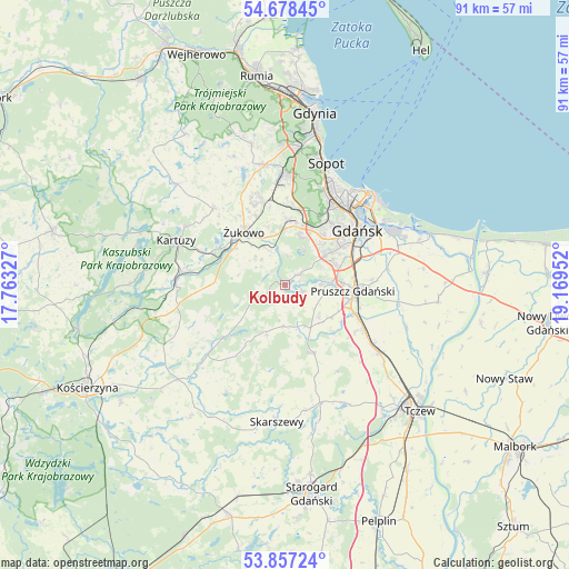
Kolbudy GPS coordinates[2]
54° 16' 11.604" North, 18° 27' 59.004" East
| Map corner | latitude | longitude |
|---|---|---|
| Upper-left | 54.67845°, | 17.76327° |
| Center: | 54.26989°, | 18.46639° |
| Lower-right: | 53.85724°, | 19.16952° |
| Map W x H: | 91.3×91.3 km | = 56.7×56.7mi |
| max Lat: | 54.83135° ⇑2.8% North |
| Kolbudy: | 54.26989° |
| min Lat: | ⇓97.2% South 49.21328° |
| min Long | Kolbudy | max Long |
| 14.20249° | 18.46639° | 24.03723° |
| W 31.3%⇐ | ⇒68.7% E |
Elevation
Elevation of Kolbudy is 78 m = 256 ft, and this is 113.4 m = 372 ft below average elevation for this country.
| Max E: |
974 m = 3196 ft | 89.2% |
| Avg. | 191.4 m = 628 ft | |
| Kolbudy | 78 m = 256 ft | |
Min E: |
-3 m = -10 ft | 10.8% |
See also: Poland elevation on elevation.city.
Geographical zone
Kolbudy is located in North temperate zone (between Tropic of Cancer and the Arctic Circle). Distance of this North polar circle is 1366.9 km =849.4 mi to North.| Distance of | km | miles | from Kolbudy |
|---|---|---|---|
| North Pole | 3972.8 | 2468.6 | to North |
| Arctic Circle | 1366.9 | 849.4 | to North |
| Tropic Cancer | 3428.3 | 2130.2 | to South |
| Equator | 6034.2 | 3749.5 | to South |


Nearby cities:
15 places around Kolbudy: (largest is in red/bold)
• Borkowo Łostowickie
9 km =5.6 mi,  68°
68°
• Cieplewo
12.7 km =7.9 mi,  108°
108°
• Juszkowo
8.9 km =5.5 mi,  99°
99°
• Kowale
7.6 km =4.7 mi,  54°
54°
• Lublewo Gdańskie
2.9 km =1.8 mi,  56°
56°
• Pruszcz Gdański
11.1 km =6.9 mi,  94°
94°
• Przywidz
12.6 km =7.8 mi,  228°
228°
• Pręgowo
1.9 km =1.2 mi,  153°
153°
• Pępowo
12.4 km =7.7 mi,  335°
335°
• Rotmanka
8.9 km =5.5 mi, 86°
• Rusocin
11.4 km =7.1 mi, 113°
• Straszyn
7.5 km =4.7 mi, 88°
• Trąbki Wielkie
12 km =7.5 mi,  156°
156°
• Łęgowo
12.4 km =7.7 mi, 112°
• Żukowo
10.4 km =6.5 mi,  320°
320°
Sources, notices
• [Note1] Compared only with cities in Poland existing in our database
• [Src1] Map data: © OpenStreetMap contributors (CC-BY-SA)
• [Src2] Other city data from geonames.org with taken over terms of usage.
• [Src3] Geographical zone / Annual Mean Temperature by Robert A. Rohde @ Wikipedia
