Vătava geodata
Vătava (Mureş) is a seat of a second-order administrative division; located in Romania in Europe/Bucharest (GMT+3) time zone. With population of 2,099 people, there are 2515 cities with bigger population in this country. Compared to other cities in Romania, 78.2% of cities are located further ↓South; 56.1% of cities are located further →East and 95.3% of cities have lower elevation than Vătava. Note1


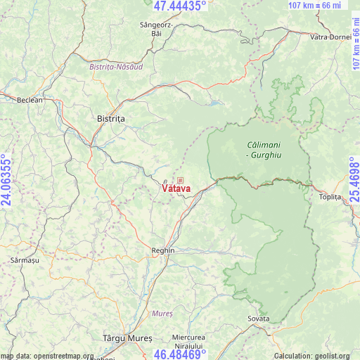
Vătava GPS coordinates[2]
46° 58' 0.012" North, 24° 46' 0.012" East
| Map corner | latitude | longitude |
|---|---|---|
| Upper-left | 47.44435°, | 24.06355° |
| Center: | 46.96667°, | 24.76667° |
| Lower-right: | 46.48469°, | 25.4698° |
| Map W x H: | 106.7×106.7 km | = 66.3×66.3mi |
| max Lat: | 48.23793° ⇑21.8% North |
| Vătava: | 46.96667° |
| min Lat: | ⇓78.2% South 43.65638° |
| min Long | Vătava | max Long |
| 20.31667° | 24.76667° | 29.65403° |
| W 43.9%⇐ | ⇒56.1% E |
Elevation
Elevation of Vătava is 635 m = 2083 ft, and this is 380.1 m = 1247 ft above average elevation for this country.
| Max E: |
1278 m = 4193 ft | 4.7% |
| Vătava | 635 m 2083 ft | |
| Avg. | 254.9 m = 836 ft | |
Min E: |
-2 m = -7 ft | 95.3% |
See also: Romania elevation on elevation.city.
Geographical zone
Vătava is located in North temperate zone (between Tropic of Cancer and the Arctic Circle). Distance of this North polar circle is 2179 km =1354 mi to North.| Distance of | km | miles | from Vătava |
|---|---|---|---|
| North Pole | 4784.9 | 2973.2 | to North |
| Arctic Circle | 2179 | 1354 | to North |
| Tropic Cancer | 2616.3 | 1625.7 | to South |
| Equator | 5222.2 | 3244.9 | to South |


Nearby cities:
15 places around Vătava: (largest is in red/bold)
• Aluniş
8.6 km =5.3 mi,  163°
163°
• Ardan
10 km =6.2 mi,  314°
314°
• Bistra Mureșului
10.6 km =6.6 mi,  93°
93°
• Deda
10.8 km =6.7 mi,  110°
110°
• Dumbrava
4 km =2.5 mi,  133°
133°
• Filea
9.4 km =5.8 mi, 106°
• Gledin
4.4 km =2.7 mi,  260°
260°
• Lunca Mureșului
10.5 km =6.5 mi,  169°
169°
• Monor
5.1 km =3.2 mi,  270°
270°
• Ruşii Munţi
8.4 km =5.2 mi, 131°
• Ruștior
7.8 km =4.8 mi,  292°
292°
• Râpa de Jos
3.1 km =1.9 mi,  177°
177°
• Sebiș
5.8 km =3.6 mi,  319°
319°
• Vălenii de Mureș
8.6 km =5.3 mi, 163°
• Şieuţ
9 km =5.6 mi,  281°
281°
Sources, notices
• [Note1] Compared only with cities in Romania existing in our database
• [Src1] Map data: © OpenStreetMap contributors (CC-BY-SA)
• [Src2] Other city data from geonames.org with taken over terms of usage.
• [Src3] Geographical zone / Annual Mean Temperature by Robert A. Rohde @ Wikipedia
