Ursa geodata
Ursa (Olt) is a populated place; located in Romania in Europe/Bucharest (GMT+3) time zone. With population of 1,102 people, there are 3985 cities with bigger population in this country. Compared to other cities in Romania, 99.5% of cities are located further ↑North; 58.3% of cities are located further →East and 94.2% of cities have higher elevation than Ursa. Note1


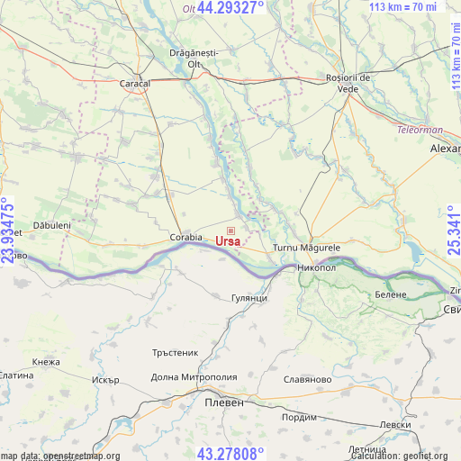
Ursa GPS coordinates[2]
43° 47' 16.188" North, 24° 38' 16.332" East
| Map corner | latitude | longitude |
|---|---|---|
| Upper-left | 44.29327°, | 23.93475° |
| Center: | 43.78783°, | 24.63787° |
| Lower-right: | 43.27808°, | 25.341° |
| Map W x H: | 112.9×112.9 km | = 70.2×70.2mi |
| max Lat: | 48.23793° ⇑99.5% North |
| Ursa: | 43.78783° |
| min Lat: | ⇓0.5% South 43.65638° |
| min Long | Ursa | max Long |
| 20.31667° | 24.63787° | 29.65403° |
| W 41.7%⇐ | ⇒58.3% E |
Elevation
Elevation of Ursa is 38 m = 125 ft, and this is 216.9 m = 712 ft below average elevation for this country.
| Max E: |
1278 m = 4193 ft | 94.2% |
| Avg. | 254.9 m = 836 ft | |
| Ursa | 38 m = 125 ft | |
Min E: |
-2 m = -7 ft | 5.8% |
See also: Romania elevation on elevation.city.
Geographical zone
Ursa is located in North temperate zone (between Tropic of Cancer and the Arctic Circle). Distance of this Northern Tropic circle is 2262.8 km =1406 mi to South.| Distance of | km | miles | from Ursa |
|---|---|---|---|
| North Pole | 5138.3 | 3192.8 | to North |
| Arctic Circle | 2532.4 | 1573.6 | to North |
| Tropic Cancer | 2262.8 | 1406 | to South |
| Equator | 4868.8 | 3025.3 | to South |


Nearby cities:
15 places around Ursa: (largest is in red/bold)
• Corabia
11 km =6.8 mi,  262°
262°
• Doanca
6.8 km =4.2 mi,  7°
7°
• Giuvărăşti
5.2 km =3.2 mi,  74°
74°
• Gârcov
3.7 km =2.3 mi,  209°
209°
• Islaz
12.6 km =7.8 mi,  126°
126°
• Izbiceni
5.2 km =3.2 mi, 10°
• Lunca
11.5 km =7.1 mi,  63°
63°
• Moldoveni
7.3 km =4.5 mi,  98°
98°
• Pleașov
11.3 km =7 mi,  52°
52°
• Potlogeni
10.3 km =6.4 mi,  356°
356°
• Prundu
5.9 km =3.7 mi, 47°
• Saelele
10.5 km =6.5 mi,  43°
43°
• Tia Mare
8.8 km =5.5 mi, 357°
• Tudor Vladimirescu
12.1 km =7.5 mi,  289°
289°
• Uda-Paciurea
12.3 km =7.6 mi,  33°
33°
Sources, notices
• [Note1] Compared only with cities in Romania existing in our database
• [Src1] Map data: © OpenStreetMap contributors (CC-BY-SA)
• [Src2] Other city data from geonames.org with taken over terms of usage.
• [Src3] Geographical zone / Annual Mean Temperature by Robert A. Rohde @ Wikipedia
