Tia Mare geodata
Tia Mare (Olt) is a seat of a second-order administrative division; located in Romania in Europe/Bucharest (GMT+3) time zone. With population of 4,853 people, there are 832 cities with bigger population in this country. Compared to other cities in Romania, 98.9% of cities are located further ↑North; 58.4% of cities are located further →East and 92.6% of cities have higher elevation than Tia Mare. Note1


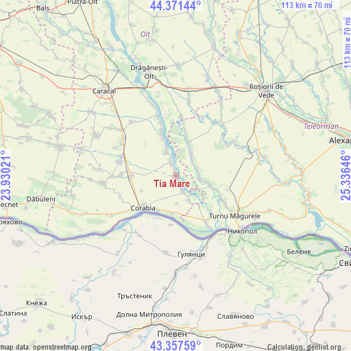
Tia Mare GPS coordinates[2]
43° 52' 0.012" North, 24° 37' 59.988" East
| Map corner | latitude | longitude |
|---|---|---|
| Upper-left | 44.37144°, | 23.93021° |
| Center: | 43.86667°, | 24.63333° |
| Lower-right: | 43.35759°, | 25.33646° |
| Map W x H: | 112.7×112.7 km | = 70×70mi |
| max Lat: | 48.23793° ⇑98.9% North |
| Tia Mare: | 43.86667° |
| min Lat: | ⇓1.1% South 43.65638° |
| min Long | Tia Mare | max Long |
| 20.31667° | 24.63333° | 29.65403° |
| W 41.6%⇐ | ⇒58.4% E |
Elevation
Elevation of Tia Mare is 46 m = 151 ft, and this is 208.9 m = 685 ft below average elevation for this country.
| Max E: |
1278 m = 4193 ft | 92.6% |
| Avg. | 254.9 m = 836 ft | |
| Tia Mare | 46 m = 151 ft | |
Min E: |
-2 m = -7 ft | 7.4% |
See also: Romania elevation on elevation.city.
Geographical zone
Tia Mare is located in North temperate zone (between Tropic of Cancer and the Arctic Circle). Distance of this Northern Tropic circle is 2271.6 km =1411.5 mi to South.| Distance of | km | miles | from Tia Mare |
|---|---|---|---|
| North Pole | 5129.5 | 3187.3 | to North |
| Arctic Circle | 2523.7 | 1568.2 | to North |
| Tropic Cancer | 2271.6 | 1411.5 | to South |
| Equator | 4877.5 | 3030.7 | to South |


Nearby cities:
15 places around Tia Mare: (largest is in red/bold)
• Brâncoveanca
9.5 km =5.9 mi,  30°
30°
• Cilieni
3.9 km =2.4 mi,  340°
340°
• Doanca
2.4 km =1.5 mi,  147°
147°
• Giuvărăşti
9.1 km =5.7 mi,  144°
144°
• Izbiceni
3.9 km =2.4 mi,  160°
160°
• Jieni
9.9 km =6.2 mi, 341°
• Pleașov
9.5 km =5.9 mi,  101°
101°
• Potlogeni
1.5 km =0.9 mi,  352°
352°
• Prundu
6.7 km =4.2 mi, 135°
• Rusăneşti
7.9 km =4.9 mi, 340°
• Saelele
7.7 km =4.8 mi, 99°
• Slobozia-Mândra
7.7 km =4.8 mi,  43°
43°
• Uda-Clocociov
6.9 km =4.3 mi,  70°
70°
• Uda-Paciurea
7.4 km =4.6 mi,  78°
78°
• Ursa
8.8 km =5.5 mi,  177°
177°
Sources, notices
• [Note1] Compared only with cities in Romania existing in our database
• [Src1] Map data: © OpenStreetMap contributors (CC-BY-SA)
• [Src2] Other city data from geonames.org with taken over terms of usage.
• [Src3] Geographical zone / Annual Mean Temperature by Robert A. Rohde @ Wikipedia
