Ungureni geodata
Ungureni (Galaţi) is a populated place; located in Romania in Europe/Bucharest (GMT+3) time zone. With population of 1,347 people, there are 3432 cities with bigger population in this country. Compared to other cities in Romania, 53% of cities are located further ↓South; 90.6% of cities are located further ←West and 92.6% of cities have higher elevation than Ungureni. Note1


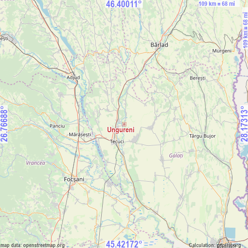
Ungureni GPS coordinates[2]
45° 54' 47.052" North, 27° 28' 12" East
| Map corner | latitude | longitude |
|---|---|---|
| Upper-left | 46.40011°, | 26.76688° |
| Center: | 45.91307°, | 27.47° |
| Lower-right: | 45.42172°, | 28.17313° |
| Map W x H: | 108.8×108.8 km | = 67.6×67.6mi |
| max Lat: | 48.23793° ⇑47% North |
| Ungureni: | 45.91307° |
| min Lat: | ⇓53% South 43.65638° |
| min Long | Ungureni | max Long |
| 20.31667° | 27.47° | 29.65403° |
| W 90.6%⇐ | ⇒9.4% E |
Elevation
Elevation of Ungureni is 46 m = 151 ft, and this is 208.9 m = 685 ft below average elevation for this country.
| Max E: |
1278 m = 4193 ft | 92.6% |
| Avg. | 254.9 m = 836 ft | |
| Ungureni | 46 m = 151 ft | |
Min E: |
-2 m = -7 ft | 7.4% |
See also: Romania elevation on elevation.city.
Geographical zone
Ungureni is located in North temperate zone (between Tropic of Cancer and the Arctic Circle). Distance of this North polar circle is 2296.1 km =1426.7 mi to North.| Distance of | km | miles | from Ungureni |
|---|---|---|---|
| North Pole | 4902 | 3046 | to North |
| Arctic Circle | 2296.1 | 1426.7 | to North |
| Tropic Cancer | 2499.1 | 1552.9 | to South |
| Equator | 5105.1 | 3172.2 | to South |


Nearby cities:
15 places around Ungureni: (largest is in red/bold)
• Corod
11.4 km =7.1 mi,  97°
97°
• Cosmeşti
13.2 km =8.2 mi,  248°
248°
• Cârlomănești
11.7 km =7.3 mi,  48°
48°
• Gara Berheci
7.3 km =4.5 mi,  339°
339°
• Matca
8.6 km =5.3 mi,  145°
145°
• Munteni
3.6 km =2.2 mi,  308°
308°
• Negrilești
5 km =3.1 mi,  9°
9°
• Nicoreşti
12.7 km =7.9 mi,  279°
279°
• Nărtești
12.1 km =7.5 mi, 336°
• Slobozia Blăneasa
2.9 km =1.8 mi, 14°
• Slobozia Corni
8.8 km =5.5 mi, 5°
• Tecuci
7.6 km =4.7 mi,  201°
201°
• Tălpigi
10.6 km =6.6 mi,  1°
1°
• Ţepu
10 km =6.2 mi, 306°
• Țigănești
3 km =1.9 mi,  244°
244°
Sources, notices
• [Note1] Compared only with cities in Romania existing in our database
• [Src1] Map data: © OpenStreetMap contributors (CC-BY-SA)
• [Src2] Other city data from geonames.org with taken over terms of usage.
• [Src3] Geographical zone / Annual Mean Temperature by Robert A. Rohde @ Wikipedia
