Tântava geodata
Tântava (Giurgiu) is a populated place; located in Romania in Europe/Bucharest (GMT+3) time zone. With population of 1,334 people, there are 3455 cities with bigger population in this country. Compared to other cities in Romania, 87.8% of cities are located further ↑North; 59.7% of cities are located further ←West and 79.9% of cities have higher elevation than Tântava. Note1


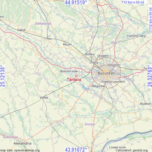
Tântava GPS coordinates[2]
44° 24' 54.396" North, 25° 49' 28.2" East
| Map corner | latitude | longitude |
|---|---|---|
| Upper-left | 44.91519°, | 25.12138° |
| Center: | 44.41511°, | 25.8245° |
| Lower-right: | 43.91072°, | 26.52763° |
| Map W x H: | 111.7×111.7 km | = 69.4×69.4mi |
| max Lat: | 48.23793° ⇑87.8% North |
| Tântava: | 44.41511° |
| min Lat: | ⇓12.2% South 43.65638° |
| min Long | Tântava | max Long |
| 20.31667° | 25.8245° | 29.65403° |
| W 59.7%⇐ | ⇒40.3% E |
Elevation
Elevation of Tântava is 95 m = 312 ft, and this is 159.9 m = 525 ft below average elevation for this country.
| Max E: |
1278 m = 4193 ft | 79.9% |
| Avg. | 254.9 m = 836 ft | |
| Tântava | 95 m = 312 ft | |
Min E: |
-2 m = -7 ft | 20.1% |
See also: Romania elevation on elevation.city.
Geographical zone
Tântava is located in North temperate zone (between Tropic of Cancer and the Arctic Circle). Distance of this Northern Tropic circle is 2332.6 km =1449.4 mi to South.| Distance of | km | miles | from Tântava |
|---|---|---|---|
| North Pole | 5068.6 | 3149.5 | to North |
| Arctic Circle | 2462.7 | 1530.3 | to North |
| Tropic Cancer | 2332.6 | 1449.4 | to South |
| Equator | 4938.5 | 3068.6 | to South |


Nearby cities:
15 places around Tântava: (largest is in red/bold)
• Bolintin Deal
4.9 km =3 mi,  356°
356°
• Bolintin Vale
6.5 km =4 mi,  305°
305°
• Buturugeni
5.6 km =3.5 mi,  171°
171°
• Ciorogârla
5.6 km =3.5 mi,  56°
56°
• Crivina
3.5 km =2.2 mi,  300°
300°
• Domnești
7.5 km =4.7 mi,  103°
103°
• Dârvari
4.4 km =2.7 mi,  81°
81°
• Ghionea
7.8 km =4.8 mi,  347°
347°
• Grădinari
2.6 km =1.6 mi,  195°
195°
• Hobaia
4.8 km =3 mi,  233°
233°
• Mihai Vodă
2.7 km =1.7 mi, 351°
• Ogrezeni
4.5 km =2.8 mi,  276°
276°
• Poenari
7.5 km =4.7 mi,  325°
325°
• Zorile
4.3 km =2.7 mi, 199°
• Țegheș
5.4 km =3.4 mi,  133°
133°
Sources, notices
• [Note1] Compared only with cities in Romania existing in our database
• [Src1] Map data: © OpenStreetMap contributors (CC-BY-SA)
• [Src2] Other city data from geonames.org with taken over terms of usage.
• [Src3] Geographical zone / Annual Mean Temperature by Robert A. Rohde @ Wikipedia
