Sârbești geodata
Sârbești (Gorj) is a populated place; located in Romania in Europe/Bucharest (GMT+3) time zone. With population of 510 people, there are 6942 cities with bigger population in this country. Compared to other cities in Romania, 64.9% of cities are located further ↑North; 72.8% of cities are located further →East and 88% of cities have lower elevation than Sârbești. Note1


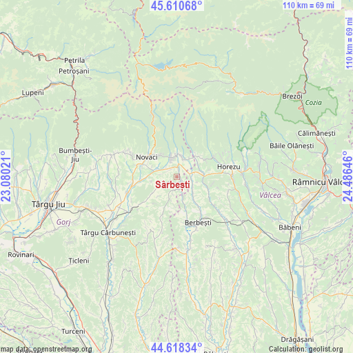
Sârbești GPS coordinates[2]
45° 7' 0.012" North, 23° 46' 59.988" East
| Map corner | latitude | longitude |
|---|---|---|
| Upper-left | 45.61068°, | 23.08021° |
| Center: | 45.11667°, | 23.78333° |
| Lower-right: | 44.61834°, | 24.48646° |
| Map W x H: | 110.3×110.3 km | = 68.5×68.5mi |
| max Lat: | 48.23793° ⇑64.9% North |
| Sârbești: | 45.11667° |
| min Lat: | ⇓35.1% South 43.65638° |
| min Long | Sârbești | max Long |
| 20.31667° | 23.78333° | 29.65403° |
| W 27.2%⇐ | ⇒72.8% E |
Elevation
Elevation of Sârbești is 483 m = 1585 ft, and this is 228.1 m = 748 ft above average elevation for this country.
| Max E: |
1278 m = 4193 ft | 12% |
| Sârbești | 483 m 1585 ft | |
| Avg. | 254.9 m = 836 ft | |
Min E: |
-2 m = -7 ft | 88% |
See also: Romania elevation on elevation.city.
Geographical zone
Sârbești is located in North temperate zone (between Tropic of Cancer and the Arctic Circle). Distance of this North polar circle is 2384.7 km =1481.8 mi to North.| Distance of | km | miles | from Sârbești |
|---|---|---|---|
| North Pole | 4990.6 | 3101 | to North |
| Arctic Circle | 2384.7 | 1481.8 | to North |
| Tropic Cancer | 2410.6 | 1497.9 | to South |
| Equator | 5016.5 | 3117.1 | to South |


Nearby cities:
15 places around Sârbești: (largest is in red/bold)
• Alimpeşti
3.9 km =2.4 mi,  160°
160°
• Baia de Fier
5.7 km =3.5 mi,  346°
346°
• Bucșana
8 km =5 mi,  222°
222°
• Bumbești-Pițic
7.7 km =4.8 mi,  279°
279°
• Cârligei
7.7 km =4.8 mi,  260°
260°
• Greci
5.7 km =3.5 mi,  116°
116°
• Igoiu
7.9 km =4.9 mi,  165°
165°
• Mateeşti
7.6 km =4.7 mi,  136°
136°
• Milostea
4.2 km =2.6 mi,  77°
77°
• Poienari
4.4 km =2.7 mi,  303°
303°
• Polovragi
7.5 km =4.7 mi,  10°
10°
• Racovița
7.2 km =4.5 mi,  36°
36°
• Roşia de Amaradia
7.9 km =4.9 mi,  199°
199°
• Rugetu
7.5 km =4.7 mi,  68°
68°
• Zorlești
5.7 km =3.5 mi,  240°
240°
Sources, notices
• [Note1] Compared only with cities in Romania existing in our database
• [Src1] Map data: © OpenStreetMap contributors (CC-BY-SA)
• [Src2] Other city data from geonames.org with taken over terms of usage.
• [Src3] Geographical zone / Annual Mean Temperature by Robert A. Rohde @ Wikipedia
