Sâncel geodata
Sâncel (Alba) is a seat of a second-order administrative division; located in Romania in Europe/Bucharest (GMT+3) time zone. With population of 2,735 people, there are 1955 cities with bigger population in this country. Compared to other cities in Romania, 59.5% of cities are located further ↓South; 70.3% of cities are located further →East and 58.8% of cities have lower elevation than Sâncel. Note1


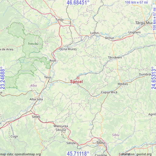
Sâncel GPS coordinates[2]
46° 12' 0" North, 23° 57' 0" East
| Map corner | latitude | longitude |
|---|---|---|
| Upper-left | 46.68451°, | 23.24688° |
| Center: | 46.2°, | 23.95° |
| Lower-right: | 45.71118°, | 24.65313° |
| Map W x H: | 108.2×108.2 km | = 67.2×67.2mi |
| max Lat: | 48.23793° ⇑40.5% North |
| Sâncel: | 46.2° |
| min Lat: | ⇓59.5% South 43.65638° |
| min Long | Sâncel | max Long |
| 20.31667° | 23.95° | 29.65403° |
| W 29.7%⇐ | ⇒70.3% E |
Elevation
Elevation of Sâncel is 256 m = 840 ft, and this is 1.1 m = 4 ft above average elevation for this country.
| Max E: |
1278 m = 4193 ft | 41.2% |
| Sâncel | 256 m 840 ft | |
| Avg. | 254.9 m = 836 ft | |
Min E: |
-2 m = -7 ft | 58.8% |
See also: Romania elevation on elevation.city.
Geographical zone
Sâncel is located in North temperate zone (between Tropic of Cancer and the Arctic Circle). Distance of this North polar circle is 2264.2 km =1406.9 mi to North.| Distance of | km | miles | from Sâncel |
|---|---|---|---|
| North Pole | 4870.1 | 3026.1 | to North |
| Arctic Circle | 2264.2 | 1406.9 | to North |
| Tropic Cancer | 2531 | 1572.7 | to South |
| Equator | 5137 | 3192 | to South |


Nearby cities:
15 places around Sâncel: (largest is in red/bold)
• Biia
5.4 km =3.4 mi,  50°
50°
• Blaj
3.8 km =2.4 mi,  223°
223°
• Bucerdea-Grânoasă
9 km =5.6 mi,  270°
270°
• Bălcaciu
8.6 km =5.3 mi,  96°
96°
• Cergău Mare
11.5 km =7.1 mi,  190°
190°
• Ciuguzel
11.6 km =7.2 mi,  322°
322°
• Crăciunelu de Jos
9.2 km =5.7 mi,  258°
258°
• Izvoarele
4.9 km =3 mi,  226°
226°
• Jidvei
11.7 km =7.3 mi,  80°
80°
• Mănărade
6.7 km =4.2 mi,  167°
167°
• Pănade
2.9 km =1.8 mi,  14°
14°
• Tiur
6.4 km =4 mi, 226°
• Valea Lungă Alba Romania
11 km =6.8 mi,  138°
138°
• Veza
4.1 km =2.5 mi,  208°
208°
• Şona
5.5 km =3.4 mi,  70°
70°
Sources, notices
• [Note1] Compared only with cities in Romania existing in our database
• [Src1] Map data: © OpenStreetMap contributors (CC-BY-SA)
• [Src2] Other city data from geonames.org with taken over terms of usage.
• [Src3] Geographical zone / Annual Mean Temperature by Robert A. Rohde @ Wikipedia
