Scăeşti geodata
Scăeşti (Dolj) is a seat of a second-order administrative division; located in Romania in Europe/Bucharest (GMT+3) time zone. With population of 2,294 people, there are 2331 cities with bigger population in this country. Compared to other cities in Romania, 86.2% of cities are located further ↑North; 75.8% of cities are located further →East and 80.5% of cities have higher elevation than Scăeşti. Note1


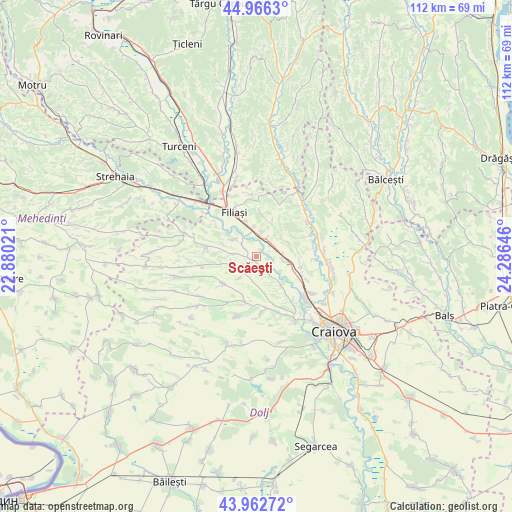
Scăeşti GPS coordinates[2]
44° 28' 0.012" North, 23° 34' 59.988" East
| Map corner | latitude | longitude |
|---|---|---|
| Upper-left | 44.9663°, | 22.88021° |
| Center: | 44.46667°, | 23.58333° |
| Lower-right: | 43.96272°, | 24.28646° |
| Map W x H: | 111.6×111.6 km | = 69.3×69.3mi |
| max Lat: | 48.23793° ⇑86.2% North |
| Scăeşti: | 44.46667° |
| min Lat: | ⇓13.8% South 43.65638° |
| min Long | Scăeşti | max Long |
| 20.31667° | 23.58333° | 29.65403° |
| W 24.2%⇐ | ⇒75.8% E |
Elevation
Elevation of Scăeşti is 93 m = 305 ft, and this is 161.9 m = 531 ft below average elevation for this country.
| Max E: |
1278 m = 4193 ft | 80.5% |
| Avg. | 254.9 m = 836 ft | |
| Scăeşti | 93 m = 305 ft | |
Min E: |
-2 m = -7 ft | 19.5% |
See also: Romania elevation on elevation.city.
Geographical zone
Scăeşti is located in North temperate zone (between Tropic of Cancer and the Arctic Circle). Distance of this Northern Tropic circle is 2338.3 km =1453 mi to South.| Distance of | km | miles | from Scăeşti |
|---|---|---|---|
| North Pole | 5062.8 | 3145.9 | to North |
| Arctic Circle | 2456.9 | 1526.6 | to North |
| Tropic Cancer | 2338.3 | 1453 | to South |
| Equator | 4944.2 | 3072.2 | to South |


Nearby cities:
15 places around Scăeşti: (largest is in red/bold)
• Bogea
10.4 km =6.5 mi,  110°
110°
• Braloştiţa
6.5 km =4 mi,  305°
305°
• Brădeşti
4.4 km =2.7 mi,  64°
64°
• Coţofenii din Dos
4.6 km =2.9 mi,  144°
144°
• Coțofenii din Față
5.9 km =3.7 mi,  97°
97°
• Mihăița
10.5 km =6.5 mi, 141°
• Potmelțu
8.2 km =5.1 mi, 139°
• Rasnicu Oghian
4.9 km =3 mi,  237°
237°
• Răcarii de Jos
6.4 km =4 mi,  354°
354°
• Răcarii de Sus
7.9 km =4.9 mi,  344°
344°
• Sfârcea
3.6 km =2.2 mi, 306°
• Sopot
8.6 km =5.3 mi,  229°
229°
• Tatomirești
5.7 km =3.5 mi,  10°
10°
• Valea Fântânilor
8.8 km =5.5 mi,  296°
296°
• Valea lui Pătru
5 km =3.1 mi,  277°
277°
Sources, notices
• [Note1] Compared only with cities in Romania existing in our database
• [Src1] Map data: © OpenStreetMap contributors (CC-BY-SA)
• [Src2] Other city data from geonames.org with taken over terms of usage.
• [Src3] Geographical zone / Annual Mean Temperature by Robert A. Rohde @ Wikipedia
