Sărata geodata
Sărata (Bistriţa-Năsăud) is a populated place; located in Romania in Europe/Bucharest (GMT+3) time zone. With population of 894 people, there are 4644 cities with bigger population in this country. Compared to other cities in Romania, 80.8% of cities are located further ↓South; 61.1% of cities are located further →East and 70.4% of cities have lower elevation than Sărata. Note1


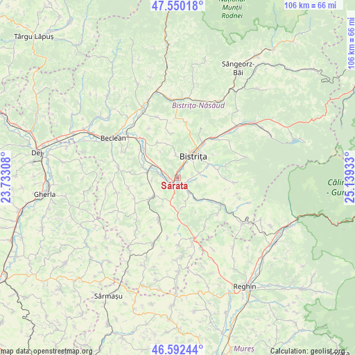
Sărata GPS coordinates[2]
47° 4' 24.456" North, 24° 26' 10.32" East
| Map corner | latitude | longitude |
|---|---|---|
| Upper-left | 47.55018°, | 23.73308° |
| Center: | 47.07346°, | 24.4362° |
| Lower-right: | 46.59244°, | 25.13933° |
| Map W x H: | 106.5×106.5 km | = 66.2×66.2mi |
| max Lat: | 48.23793° ⇑19.2% North |
| Sărata: | 47.07346° |
| min Lat: | ⇓80.8% South 43.65638° |
| min Long | Sărata | max Long |
| 20.31667° | 24.4362° | 29.65403° |
| W 38.9%⇐ | ⇒61.1% E |
Elevation
Elevation of Sărata is 324 m = 1063 ft, and this is 69.1 m = 227 ft above average elevation for this country.
| Max E: |
1278 m = 4193 ft | 29.6% |
| Sărata | 324 m 1063 ft | |
| Avg. | 254.9 m = 836 ft | |
Min E: |
-2 m = -7 ft | 70.4% |
See also: Romania elevation on elevation.city.
Geographical zone
Sărata is located in North temperate zone (between Tropic of Cancer and the Arctic Circle). Distance of this North polar circle is 2167.1 km =1346.6 mi to North.| Distance of | km | miles | from Sărata |
|---|---|---|---|
| North Pole | 4773 | 2965.8 | to North |
| Arctic Circle | 2167.1 | 1346.6 | to North |
| Tropic Cancer | 2628.2 | 1633.1 | to South |
| Equator | 5234.1 | 3252.3 | to South |


Nearby cities:
15 places around Sărata: (largest is in red/bold)
• Arcalia
5.4 km =3.4 mi,  278°
278°
• Bistriţa
8.2 km =5.1 mi,  36°
36°
• Budacu de Jos
6.2 km =3.9 mi,  79°
79°
• Buduș
7.7 km =4.8 mi, 83°
• Chintelnic
8.1 km =5 mi,  292°
292°
• Chiraleș
9.2 km =5.7 mi, 280°
• Crainimăt
2.6 km =1.6 mi,  264°
264°
• Domnești
5.1 km =3.2 mi,  142°
142°
• Galaţii Bistriţei
10.4 km =6.5 mi,  195°
195°
• Jelna
9.9 km =6.2 mi,  66°
66°
• Lechinţa
9.1 km =5.7 mi,  225°
225°
• Mărişelu
8.8 km =5.5 mi, 136°
• Sigmir
6.9 km =4.3 mi,  354°
354°
• Viișoara
3.5 km =2.2 mi,  16°
16°
• Şieu-Măgheruş
4.2 km =2.6 mi, 285°
Sources, notices
• [Note1] Compared only with cities in Romania existing in our database
• [Src1] Map data: © OpenStreetMap contributors (CC-BY-SA)
• [Src2] Other city data from geonames.org with taken over terms of usage.
• [Src3] Geographical zone / Annual Mean Temperature by Robert A. Rohde @ Wikipedia
