Prohozești geodata
Prohozești (Bacău) is a populated place; located in Romania in Europe/Bucharest (GMT+3) time zone. With population of 1,018 people, there are 4232 cities with bigger population in this country. Compared to other cities in Romania, 66.7% of cities are located further ↓South; 73.8% of cities are located further ←West and 83.9% of cities have lower elevation than Prohozești. Note1


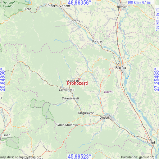
Prohozești GPS coordinates[2]
46° 28' 53.58" North, 26° 33' 6.12" East
| Map corner | latitude | longitude |
|---|---|---|
| Upper-left | 46.96356°, | 25.84858° |
| Center: | 46.48155°, | 26.5517° |
| Lower-right: | 45.99523°, | 27.25483° |
| Map W x H: | 107.7×107.7 km | = 66.9×66.9mi |
| max Lat: | 48.23793° ⇑33.3% North |
| Prohozești: | 46.48155° |
| min Lat: | ⇓66.7% South 43.65638° |
| min Long | Prohozești | max Long |
| 20.31667° | 26.5517° | 29.65403° |
| W 73.8%⇐ | ⇒26.2% E |
Elevation
Elevation of Prohozești is 434 m = 1424 ft, and this is 179.1 m = 588 ft above average elevation for this country.
| Max E: |
1278 m = 4193 ft | 16.1% |
| Prohozești | 434 m 1424 ft | |
| Avg. | 254.9 m = 836 ft | |
Min E: |
-2 m = -7 ft | 83.9% |
See also: Romania elevation on elevation.city.
Geographical zone
Prohozești is located in North temperate zone (between Tropic of Cancer and the Arctic Circle). Distance of this North polar circle is 2232.9 km =1387.5 mi to North.| Distance of | km | miles | from Prohozești |
|---|---|---|---|
| North Pole | 4838.8 | 3006.7 | to North |
| Arctic Circle | 2232.9 | 1387.5 | to North |
| Tropic Cancer | 2562.3 | 1592.1 | to South |
| Equator | 5168.3 | 3211.4 | to South |


Nearby cities:
15 places around Prohozești: (largest is in red/bold)
• Ardeoani
6.8 km =4.2 mi,  32°
32°
• Bucșești
2.4 km =1.5 mi,  83°
83°
• Buda
7.2 km =4.5 mi,  155°
155°
• Cernu
2.8 km =1.7 mi,  116°
116°
• Găzărie
2.7 km =1.7 mi,  288°
288°
• Leontinești
5 km =3.1 mi,  38°
38°
• Moineşti
4.8 km =3 mi,  261°
261°
• Măgireşti
3.9 km =2.4 mi,  358°
358°
• Poduri
2.2 km =1.4 mi,  220°
220°
• Prăjești
3.3 km =2.1 mi,  323°
323°
• Solonţ
8.1 km =5 mi,  340°
340°
• Stănești
5.2 km =3.2 mi, 344°
• Turluianu
7.9 km =4.9 mi,  113°
113°
• Valea Arinilor
3.7 km =2.3 mi,  299°
299°
• Valea Șoșii
2.2 km =1.4 mi,  183°
183°
Sources, notices
• [Note1] Compared only with cities in Romania existing in our database
• [Src1] Map data: © OpenStreetMap contributors (CC-BY-SA)
• [Src2] Other city data from geonames.org with taken over terms of usage.
• [Src3] Geographical zone / Annual Mean Temperature by Robert A. Rohde @ Wikipedia
