Pojejena geodata
Pojejena (Caraş-Severin) is a seat of a second-order administrative division; located in Romania in Europe/Bucharest (GMT+3) time zone. With population of 3,187 people, there are 1627 cities with bigger population in this country. Compared to other cities in Romania, 77.6% of cities are located further ↑North; 97.3% of cities are located further →East and 83.5% of cities have higher elevation than Pojejena. Note1


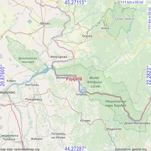
Pojejena GPS coordinates[2]
44° 46' 27.012" North, 21° 34' 45.012" East
| Map corner | latitude | longitude |
|---|---|---|
| Upper-left | 45.27115°, | 20.87605° |
| Center: | 44.77417°, | 21.57917° |
| Lower-right: | 44.27287°, | 22.2823° |
| Map W x H: | 111×111 km | = 69×69mi |
| max Lat: | 48.23793° ⇑77.6% North |
| Pojejena: | 44.77417° |
| min Lat: | ⇓22.4% South 43.65638° |
| min Long | Pojejena | max Long |
| 20.31667° | 21.57917° | 29.65403° |
| W 2.7%⇐ | ⇒97.3% E |
Elevation
Elevation of Pojejena is 83 m = 272 ft, and this is 171.9 m = 564 ft below average elevation for this country.
| Max E: |
1278 m = 4193 ft | 83.5% |
| Avg. | 254.9 m = 836 ft | |
| Pojejena | 83 m = 272 ft | |
Min E: |
-2 m = -7 ft | 16.5% |
See also: Romania elevation on elevation.city.
Geographical zone
Pojejena is located in North temperate zone (between Tropic of Cancer and the Arctic Circle). Distance of this Northern Tropic circle is 2372.5 km =1474.2 mi to South.| Distance of | km | miles | from Pojejena |
|---|---|---|---|
| North Pole | 5028.6 | 3124.6 | to North |
| Arctic Circle | 2422.8 | 1505.5 | to North |
| Tropic Cancer | 2372.5 | 1474.2 | to South |
| Equator | 4978.4 | 3093.4 | to South |


Nearby cities:
15 places around Pojejena: (largest is in red/bold)
• Belobreșca
5.4 km =3.4 mi,  286°
286°
• Coronini
13.4 km =8.3 mi,  141°
141°
• Câmpia
16.2 km =10.1 mi,  306°
306°
• Cărbunari
14.6 km =9.1 mi,  62°
62°
• Gârnic
17 km =10.6 mi,  85°
85°
• Moldova Nouă
8 km =5 mi,  120°
120°
• Măcești
3.2 km =2 mi,  131°
131°
• Naidăș
11.9 km =7.4 mi,  4°
4°
• Padina Matei
13.7 km =8.5 mi,  97°
97°
• Radimna
2.6 km =1.6 mi,  332°
332°
• Sasca Montană
16.1 km =10 mi,  39°
39°
• Sfânta Elena
15 km =9.3 mi, 135°
• Zlatița
13.3 km =8.3 mi,  319°
319°
• Știnăpari
14.7 km =9.1 mi, 56°
• Șușca
3.9 km =2.4 mi, 286°
Sources, notices
• [Note1] Compared only with cities in Romania existing in our database
• [Src1] Map data: © OpenStreetMap contributors (CC-BY-SA)
• [Src2] Other city data from geonames.org with taken over terms of usage.
• [Src3] Geographical zone / Annual Mean Temperature by Robert A. Rohde @ Wikipedia
