Podgoria geodata
Podgoria (Buzău) is a seat of a second-order administrative division; located in Romania in Europe/Bucharest (GMT+3) time zone. With population of 3,312 people, there are 1545 cities with bigger population in this country. Compared to other cities in Romania, 56.7% of cities are located further ↑North; 83.1% of cities are located further ←West and 63.9% of cities have higher elevation than Podgoria. Note1


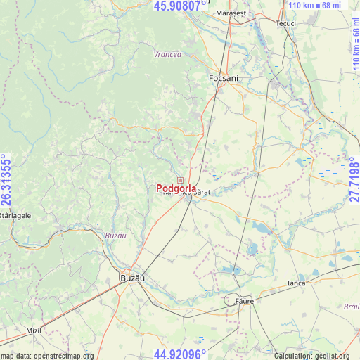
Podgoria GPS coordinates[2]
45° 25' 0.012" North, 27° 1' 0.012" East
| Map corner | latitude | longitude |
|---|---|---|
| Upper-left | 45.90807°, | 26.31355° |
| Center: | 45.41667°, | 27.01667° |
| Lower-right: | 44.92096°, | 27.7198° |
| Map W x H: | 109.8×109.8 km | = 68.2×68.2mi |
| max Lat: | 48.23793° ⇑56.7% North |
| Podgoria: | 45.41667° |
| min Lat: | ⇓43.3% South 43.65638° |
| min Long | Podgoria | max Long |
| 20.31667° | 27.01667° | 29.65403° |
| W 83.1%⇐ | ⇒16.9% E |
Elevation
Elevation of Podgoria is 151 m = 495 ft, and this is 103.9 m = 341 ft below average elevation for this country.
| Max E: |
1278 m = 4193 ft | 63.9% |
| Avg. | 254.9 m = 836 ft | |
| Podgoria | 151 m = 495 ft | |
Min E: |
-2 m = -7 ft | 36.1% |
See also: Romania elevation on elevation.city.
Geographical zone
Podgoria is located in North temperate zone (between Tropic of Cancer and the Arctic Circle). Distance of this North polar circle is 2351.3 km =1461 mi to North.| Distance of | km | miles | from Podgoria |
|---|---|---|---|
| North Pole | 4957.2 | 3080.3 | to North |
| Arctic Circle | 2351.3 | 1461 | to North |
| Tropic Cancer | 2443.9 | 1518.6 | to South |
| Equator | 5049.9 | 3137.9 | to South |


Nearby cities:
15 places around Podgoria: (largest is in red/bold)
• Băbeni
4.4 km =2.7 mi,  318°
318°
• Coroteni
7.3 km =4.5 mi,  7°
7°
• Coțatcu
5.5 km =3.4 mi,  358°
358°
• Dedulești
7.1 km =4.4 mi,  327°
327°
• Grebănu
5.4 km =3.4 mi,  226°
226°
• Homești
5 km =3.1 mi,  245°
245°
• Livada
6.6 km =4.1 mi, 234°
• Oratia
2.5 km =1.6 mi,  1°
1°
• Oreavu
5.4 km =3.4 mi,  174°
174°
• Plevna
4.3 km =2.7 mi,  183°
183°
• Rubla
8.4 km =5.2 mi,  147°
147°
• Râmnicelu
9.4 km =5.8 mi,  128°
128°
• Râmnicu Sărat
4.5 km =2.8 mi,  144°
144°
• Topliceni
1.3 km =0.8 mi,  270°
270°
• Valea Râmnicului
6.2 km =3.9 mi,  161°
161°
Sources, notices
• [Note1] Compared only with cities in Romania existing in our database
• [Src1] Map data: © OpenStreetMap contributors (CC-BY-SA)
• [Src2] Other city data from geonames.org with taken over terms of usage.
• [Src3] Geographical zone / Annual Mean Temperature by Robert A. Rohde @ Wikipedia
