Livada geodata
Livada (Buzău) is a populated place; located in Romania in Europe/Bucharest (GMT+3) time zone. With population of 644 people, there are 5909 cities with bigger population in this country. Compared to other cities in Romania, 57.4% of cities are located further ↑North; 82% of cities are located further ←West and 75.5% of cities have lower elevation than Livada. Note1


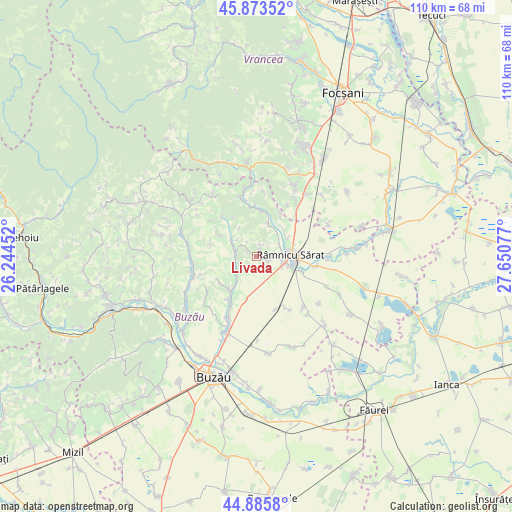
Livada GPS coordinates[2]
45° 22' 54.552" North, 26° 56' 51.504" East
| Map corner | latitude | longitude |
|---|---|---|
| Upper-left | 45.87352°, | 26.24452° |
| Center: | 45.38182°, | 26.94764° |
| Lower-right: | 44.8858°, | 27.65077° |
| Map W x H: | 109.8×109.8 km | = 68.2×68.2mi |
| max Lat: | 48.23793° ⇑57.4% North |
| Livada: | 45.38182° |
| min Lat: | ⇓42.6% South 43.65638° |
| min Long | Livada | max Long |
| 20.31667° | 26.94764° | 29.65403° |
| W 82%⇐ | ⇒18% E |
Elevation
Elevation of Livada is 357 m = 1171 ft, and this is 102.1 m = 335 ft above average elevation for this country.
| Max E: |
1278 m = 4193 ft | 24.5% |
| Livada | 357 m 1171 ft | |
| Avg. | 254.9 m = 836 ft | |
Min E: |
-2 m = -7 ft | 75.5% |
See also: Romania elevation on elevation.city.
Geographical zone
Livada is located in North temperate zone (between Tropic of Cancer and the Arctic Circle). Distance of this North polar circle is 2355.2 km =1463.5 mi to North.| Distance of | km | miles | from Livada |
|---|---|---|---|
| North Pole | 4961.1 | 3082.7 | to North |
| Arctic Circle | 2355.2 | 1463.5 | to North |
| Tropic Cancer | 2440.1 | 1516.2 | to South |
| Equator | 5046 | 3135.4 | to South |


Nearby cities:
15 places around Livada: (largest is in red/bold)
• Băbeni
7.6 km =4.7 mi,  18°
18°
• Grebănu
1.5 km =0.9 mi,  83°
83°
• Homești
2 km =1.2 mi,  25°
25°
• Murgeşti
5.4 km =3.4 mi,  291°
291°
• Oratia
8.4 km =5.2 mi,  40°
40°
• Oreavu
6.1 km =3.8 mi,  104°
104°
• Pardoşi
4.1 km =2.5 mi,  245°
245°
• Petrișoru
6.9 km =4.3 mi,  215°
215°
• Plevna
5.1 km =3.2 mi,  94°
94°
• Podgoria
6.6 km =4.1 mi,  54°
54°
• Racoviţeni
4.1 km =2.5 mi, 245°
• Râmnicu Sărat
8 km =5 mi, 88°
• Topliceni
5.6 km =3.5 mi, 46°
• Vadu Sorești
9.2 km =5.7 mi, 216°
• Valea Râmnicului
7.6 km =4.7 mi,  105°
105°
Sources, notices
• [Note1] Compared only with cities in Romania existing in our database
• [Src1] Map data: © OpenStreetMap contributors (CC-BY-SA)
• [Src2] Other city data from geonames.org with taken over terms of usage.
• [Src3] Geographical zone / Annual Mean Temperature by Robert A. Rohde @ Wikipedia
