Petreşti geodata
Petreşti (Dâmboviţa) is a seat of a second-order administrative division; located in Romania in Europe/Bucharest (GMT+3) time zone. With population of 6,020 people, there are 542 cities with bigger population in this country. Compared to other cities in Romania, 81.6% of cities are located further ↑North; 51.7% of cities are located further ←West and 57.9% of cities have higher elevation than Petreşti. Note1


Petreşti GPS coordinates[2]
44° 39' 0" North, 25° 19' 59.988" East
| Map corner | latitude | longitude |
|---|---|---|
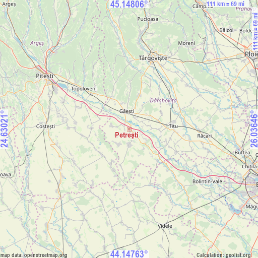
| Upper-left | 45.14806°, | 24.63021° |
| Center: | 44.65°, | 25.33333° |
| Lower-right: | 44.14763°, | 26.03646° |
| Map W x H: | 111.2×111.2 km | = 69.1×69.1mi |
| max Lat: | 48.23793° ⇑81.6% North |
| Petreşti: | 44.65° |
| min Lat: | ⇓18.4% South 43.65638° |
| min Long | Petreşti | max Long |
| 20.31667° | 25.33333° | 29.65403° |
| W 51.7%⇐ | ⇒48.3% E |
Elevation
Elevation of Petreşti is 174 m = 571 ft, and this is 80.9 m = 265 ft below average elevation for this country.
| Max E: |
1278 m = 4193 ft | 57.9% |
| Avg. | 254.9 m = 836 ft | |
| Petreşti | 174 m = 571 ft | |
Min E: |
-2 m = -7 ft | 42.1% |
See also: Romania elevation on elevation.city.
Geographical zone
Petreşti is located in North temperate zone (between Tropic of Cancer and the Arctic Circle). Distance of this Northern Tropic circle is 2358.7 km =1465.6 mi to South.| Distance of | km | miles | from Petreşti |
|---|---|---|---|
| North Pole | 5042.4 | 3133.2 | to North |
| Arctic Circle | 2436.6 | 1514 | to North |
| Tropic Cancer | 2358.7 | 1465.6 | to South |
| Equator | 4964.6 | 3084.9 | to South |


Nearby cities:
15 places around Petreşti: (largest is in red/bold)
• Broșteni
5 km =3.1 mi,  166°
166°
• Cojocaru
6.3 km =3.9 mi,  37°
37°
• Gherghești
3.9 km =2.4 mi,  331°
331°
• Greci
1.5 km =0.9 mi,  32°
32°
• Găeşti
7.5 km =4.7 mi,  349°
349°
• Ionești
6.6 km =4.1 mi,  317°
317°
• Izvoru
5.6 km =3.5 mi,  144°
144°
• Jugureni
6.4 km =4 mi,  117°
117°
• Merii
5.5 km =3.4 mi, 25°
• Mogoşani
6.4 km =4 mi,  54°
54°
• Neajlovu
5.4 km =3.4 mi,  281°
281°
• Puntea de Greci
1.9 km =1.2 mi,  262°
262°
• Ragu
7.9 km =4.9 mi, 136°
• Vişina
7.4 km =4.6 mi,  180°
180°
• Zăvoiu
5.7 km =3.5 mi,  78°
78°
Sources, notices
• [Note1] Compared only with cities in Romania existing in our database
• [Src1] Map data: © OpenStreetMap contributors (CC-BY-SA)
• [Src2] Other city data from geonames.org with taken over terms of usage.
• [Src3] Geographical zone / Annual Mean Temperature by Robert A. Rohde @ Wikipedia
