Oncești geodata
Oncești (Maramureş) is a seat of a second-order administrative division; located in Romania in Europe/Bucharest (GMT+3) time zone. With population of 1,644 people, there are 2988 cities with bigger population in this country. Compared to other cities in Romania, 97.3% of cities are located further ↓South; 69.8% of cities are located further →East and 65% of cities have lower elevation than Oncești. Note1


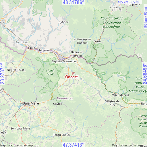
Oncești GPS coordinates[2]
47° 50' 53.304" North, 23° 58' 54.588" East
| Map corner | latitude | longitude |
|---|---|---|
| Upper-left | 48.31786°, | 23.27871° |
| Center: | 47.84814°, | 23.98183° |
| Lower-right: | 47.37413°, | 24.68496° |
| Map W x H: | 104.9×104.9 km | = 65.2×65.2mi |
| max Lat: | 48.23793° ⇑2.7% North |
| Oncești: | 47.84814° |
| min Lat: | ⇓97.3% South 43.65638° |
| min Long | Oncești | max Long |
| 20.31667° | 23.98183° | 29.65403° |
| W 30.2%⇐ | ⇒69.8% E |
Elevation
Elevation of Oncești is 290 m = 951 ft, and this is 35.1 m = 115 ft above average elevation for this country.
| Max E: |
1278 m = 4193 ft | 35% |
| Oncești | 290 m 951 ft | |
| Avg. | 254.9 m = 836 ft | |
Min E: |
-2 m = -7 ft | 65% |
See also: Romania elevation on elevation.city.
Geographical zone
Oncești is located in North temperate zone (between Tropic of Cancer and the Arctic Circle). Distance of this North polar circle is 2081 km =1293.1 mi to North.| Distance of | km | miles | from Oncești |
|---|---|---|---|
| North Pole | 4686.8 | 2912.2 | to North |
| Arctic Circle | 2081 | 1293.1 | to North |
| Tropic Cancer | 2714.3 | 1686.6 | to South |
| Equator | 5320.2 | 3305.8 | to South |


Nearby cities:
15 places around Oncești: (largest is in red/bold)
• Berbești
3.5 km =2.2 mi,  270°
270°
• Bârsana
7.2 km =4.5 mi,  118°
118°
• Cornești
3.6 km =2.2 mi,  196°
196°
• Coștiui
5 km =3.1 mi,  46°
46°
• Călineşti
7.2 km =4.5 mi,  187°
187°
• Ferești
2.9 km =1.8 mi,  229°
229°
• Giuleşti
5 km =3.1 mi, 225°
• Lazu Baciului
7.8 km =4.8 mi,  324°
324°
• Nănești
2.4 km =1.5 mi, 117°
• Rona de Jos
8.1 km =5 mi,  18°
18°
• Rona de Sus
7.7 km =4.8 mi,  41°
41°
• Sat-Șugatag
7.9 km =4.9 mi, 225°
• Vadu Izei
5.8 km =3.6 mi, 320°
• Valea Stejarului
3 km =1.9 mi,  11°
11°
• Văleni
7.4 km =4.6 mi,  159°
159°
Sources, notices
• [Note1] Compared only with cities in Romania existing in our database
• [Src1] Map data: © OpenStreetMap contributors (CC-BY-SA)
• [Src2] Other city data from geonames.org with taken over terms of usage.
• [Src3] Geographical zone / Annual Mean Temperature by Robert A. Rohde @ Wikipedia
