Lupşa geodata
Lupşa (Alba) is a seat of a second-order administrative division; located in Romania in Europe/Bucharest (GMT+3) time zone. With population of 3,766 people, there are 1288 cities with bigger population in this country. Compared to other cities in Romania, 63.7% of cities are located further ↓South; 81.5% of cities are located further →East and 89.4% of cities have lower elevation than Lupşa. Note1


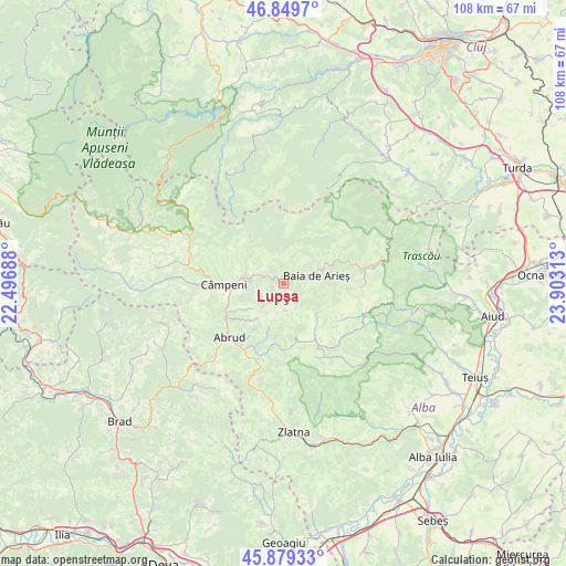
Lupşa GPS coordinates[2]
46° 22' 0.012" North, 23° 12' 0" East
| Map corner | latitude | longitude |
|---|---|---|
| Upper-left | 46.8497°, | 22.49688° |
| Center: | 46.36667°, | 23.2° |
| Lower-right: | 45.87933°, | 23.90313° |
| Map W x H: | 107.9×107.9 km | = 67×67mi |
| max Lat: | 48.23793° ⇑36.3% North |
| Lupşa: | 46.36667° |
| min Lat: | ⇓63.7% South 43.65638° |
| min Long | Lupşa | max Long |
| 20.31667° | 23.2° | 29.65403° |
| W 18.5%⇐ | ⇒81.5% E |
Elevation
Elevation of Lupşa is 503 m = 1650 ft, and this is 248.1 m = 814 ft above average elevation for this country.
| Max E: |
1278 m = 4193 ft | 10.6% |
| Lupşa | 503 m 1650 ft | |
| Avg. | 254.9 m = 836 ft | |
Min E: |
-2 m = -7 ft | 89.4% |
See also: Romania elevation on elevation.city.
Geographical zone
Lupşa is located in North temperate zone (between Tropic of Cancer and the Arctic Circle). Distance of this North polar circle is 2245.7 km =1395.4 mi to North.| Distance of | km | miles | from Lupşa |
|---|---|---|---|
| North Pole | 4851.6 | 3014.6 | to North |
| Arctic Circle | 2245.7 | 1395.4 | to North |
| Tropic Cancer | 2549.6 | 1584.2 | to South |
| Equator | 5155.5 | 3203.5 | to South |


Nearby cities:
15 places around Lupşa: (largest is in red/bold)
• Abrud
14.7 km =9.1 mi,  225°
225°
• Abrud-Sat
14.3 km =8.9 mi, 228°
• Baia de Arieş
6.4 km =4 mi,  76°
76°
• Bistra
7.7 km =4.8 mi,  279°
279°
• Blideşti
9 km =5.6 mi,  214°
214°
• Bucium
11.5 km =7.1 mi,  188°
188°
• Bucium
14.9 km =9.3 mi,  175°
175°
• Câmpeni
11.5 km =7.1 mi,  270°
270°
• Dăroaia
13.3 km =8.3 mi,  238°
238°
• Mogoș
11.9 km =7.4 mi,  148°
148°
• Mușca
2.5 km =1.6 mi, 243°
• Poienile-Mogoş
11.3 km =7 mi, 145°
• Roșia Montană
8.4 km =5.2 mi,  217°
217°
• Sohodol
13.2 km =8.2 mi,  264°
264°
• Valea Lupșii
2.6 km =1.6 mi,  53°
53°
Sources, notices
• [Note1] Compared only with cities in Romania existing in our database
• [Src1] Map data: © OpenStreetMap contributors (CC-BY-SA)
• [Src2] Other city data from geonames.org with taken over terms of usage.
• [Src3] Geographical zone / Annual Mean Temperature by Robert A. Rohde @ Wikipedia
