Iacobeni geodata
Iacobeni (Suceava) is a seat of a second-order administrative division; located in Romania in Europe/Bucharest (GMT+3) time zone. With population of 3,836 people, there are 1238 cities with bigger population in this country. Compared to other cities in Romania, 89.5% of cities are located further ↓South; 51.5% of cities are located further ←West and 99.9% of cities have lower elevation than Iacobeni. Note1


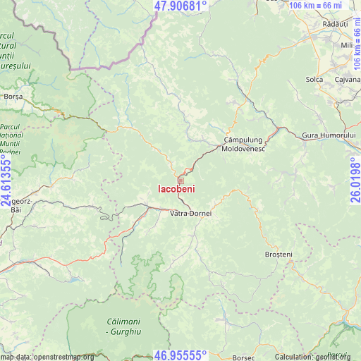
Iacobeni GPS coordinates[2]
47° 25' 59.988" North, 25° 19' 0.012" East
| Map corner | latitude | longitude |
|---|---|---|
| Upper-left | 47.90681°, | 24.61355° |
| Center: | 47.43333°, | 25.31667° |
| Lower-right: | 46.95555°, | 26.0198° |
| Map W x H: | 105.8×105.8 km | = 65.7×65.7mi |
| max Lat: | 48.23793° ⇑10.5% North |
| Iacobeni: | 47.43333° |
| min Lat: | ⇓89.5% South 43.65638° |
| min Long | Iacobeni | max Long |
| 20.31667° | 25.31667° | 29.65403° |
| W 51.5%⇐ | ⇒48.5% E |
Elevation
Elevation of Iacobeni is 1117 m = 3665 ft, and this is 862.1 m = 2828 ft above average elevation for this country.
| Max E: |
1278 m = 4193 ft | 0.099999999999994% |
| Iacobeni | 1117 m 3665 ft | |
| Avg. | 254.9 m = 836 ft | |
Min E: |
-2 m = -7 ft | 99.9% |
See also: Romania elevation on elevation.city.
Geographical zone
Iacobeni is located in North temperate zone (between Tropic of Cancer and the Arctic Circle). Distance of this North polar circle is 2127.1 km =1321.7 mi to North.| Distance of | km | miles | from Iacobeni |
|---|---|---|---|
| North Pole | 4733 | 2940.9 | to North |
| Arctic Circle | 2127.1 | 1321.7 | to North |
| Tropic Cancer | 2668.2 | 1657.9 | to South |
| Equator | 5274.1 | 3277.2 | to South |


Nearby cities:
15 places around Iacobeni: (largest is in red/bold)
• Argestru
5.8 km =3.6 mi,  174°
174°
• Botuș
14.2 km =8.8 mi,  7°
7°
• Ciocănești
6 km =3.7 mi,  331°
331°
• Colacu
12.4 km =7.7 mi,  19°
19°
• Cozăneşti
15 km =9.3 mi,  137°
137°
• Coșna
12.3 km =7.6 mi,  235°
235°
• Dealu Floreni
10.5 km =6.5 mi,  219°
219°
• Dorna Cândrenilor
10.5 km =6.5 mi,  208°
208°
• Dorna-Arini
12.6 km =7.8 mi,  147°
147°
• Fundu Moldovei
12.8 km =8 mi,  29°
29°
• Ortoaia
12.8 km =8 mi, 136°
• Poiana Negrii
14.3 km =8.9 mi, 210°
• Pojorâta
13.6 km =8.5 mi,  47°
47°
• Roșu
9.3 km =5.8 mi,  181°
181°
• Vatra Dornei
10 km =6.2 mi,  157°
157°
Sources, notices
• [Note1] Compared only with cities in Romania existing in our database
• [Src1] Map data: © OpenStreetMap contributors (CC-BY-SA)
• [Src2] Other city data from geonames.org with taken over terms of usage.
• [Src3] Geographical zone / Annual Mean Temperature by Robert A. Rohde @ Wikipedia
