Humosu geodata
Humosu (Iaşi) is a populated place; located in Romania in Europe/Bucharest (GMT+3) time zone. With population of 756 people, there are 5257 cities with bigger population in this country. Compared to other cities in Romania, 90% of cities are located further ↓South; 77.4% of cities are located further ←West and 82.9% of cities have lower elevation than Humosu. Note1


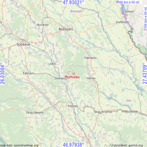
Humosu GPS coordinates[2]
47° 27' 24.984" North, 26° 44' 2.256" East
| Map corner | latitude | longitude |
|---|---|---|
| Upper-left | 47.93021°, | 26.03084° |
| Center: | 47.45694°, | 26.73396° |
| Lower-right: | 46.97938°, | 27.43709° |
| Map W x H: | 105.7×105.7 km | = 65.7×65.7mi |
| max Lat: | 48.23793° ⇑10% North |
| Humosu: | 47.45694° |
| min Lat: | ⇓90% South 43.65638° |
| min Long | Humosu | max Long |
| 20.31667° | 26.73396° | 29.65403° |
| W 77.4%⇐ | ⇒22.6% E |
Elevation
Elevation of Humosu is 422 m = 1385 ft, and this is 167.1 m = 548 ft above average elevation for this country.
| Max E: |
1278 m = 4193 ft | 17.1% |
| Humosu | 422 m 1385 ft | |
| Avg. | 254.9 m = 836 ft | |
Min E: |
-2 m = -7 ft | 82.9% |
See also: Romania elevation on elevation.city.
Geographical zone
Humosu is located in North temperate zone (between Tropic of Cancer and the Arctic Circle). Distance of this North polar circle is 2124.5 km =1320.1 mi to North.| Distance of | km | miles | from Humosu |
|---|---|---|---|
| North Pole | 4730.3 | 2939.3 | to North |
| Arctic Circle | 2124.5 | 1320.1 | to North |
| Tropic Cancer | 2670.8 | 1659.6 | to South |
| Equator | 5276.7 | 3278.8 | to South |


Nearby cities:
15 places around Humosu: (largest is in red/bold)
• Buda
7.3 km =4.5 mi,  214°
214°
• Budeni
7.4 km =4.6 mi,  229°
229°
• Deleni
11.3 km =7 mi,  84°
84°
• Dolhasca
10.4 km =6.5 mi,  255°
255°
• Feredeni
11.4 km =7.1 mi, 75°
• Gulia
10.7 km =6.6 mi,  242°
242°
• Lespezi
10.4 km =6.5 mi,  194°
194°
• Poiana
10.6 km =6.6 mi,  67°
67°
• Pârcovaci
9.1 km =5.7 mi,  104°
104°
• Siliștea Nouă
7.4 km =4.6 mi, 264°
• Sireţel
6.3 km =3.9 mi,  180°
180°
• Slobozia
6.4 km =4 mi,  174°
174°
• Sticlăria
10 km =6.2 mi,  128°
128°
• Tudora
10.1 km =6.3 mi,  311°
311°
• Vânători
11 km =6.8 mi, 168°
Sources, notices
• [Note1] Compared only with cities in Romania existing in our database
• [Src1] Map data: © OpenStreetMap contributors (CC-BY-SA)
• [Src2] Other city data from geonames.org with taken over terms of usage.
• [Src3] Geographical zone / Annual Mean Temperature by Robert A. Rohde @ Wikipedia
