Ghighiu geodata
Ghighiu (Prahova) is a populated place; located in Romania in Europe/Bucharest (GMT+3) time zone. With population of 759 people, there are 5249 cities with bigger population in this country. Compared to other cities in Romania, 73.2% of cities are located further ↑North; 64.6% of cities are located further ←West and 71.9% of cities have higher elevation than Ghighiu. Note1


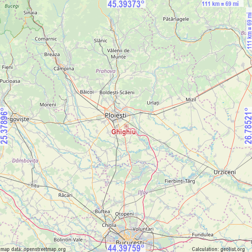
Ghighiu GPS coordinates[2]
44° 53' 52.152" North, 26° 4' 55.488" East
| Map corner | latitude | longitude |
|---|---|---|
| Upper-left | 45.39373°, | 25.37896° |
| Center: | 44.89782°, | 26.08208° |
| Lower-right: | 44.39759°, | 26.78521° |
| Map W x H: | 110.8×110.8 km | = 68.8×68.8mi |
| max Lat: | 48.23793° ⇑73.2% North |
| Ghighiu: | 44.89782° |
| min Lat: | ⇓26.8% South 43.65638° |
| min Long | Ghighiu | max Long |
| 20.31667° | 26.08208° | 29.65403° |
| W 64.6%⇐ | ⇒35.4% E |
Elevation
Elevation of Ghighiu is 120 m = 394 ft, and this is 134.9 m = 443 ft below average elevation for this country.
| Max E: |
1278 m = 4193 ft | 71.9% |
| Avg. | 254.9 m = 836 ft | |
| Ghighiu | 120 m = 394 ft | |
Min E: |
-2 m = -7 ft | 28.1% |
See also: Romania elevation on elevation.city.
Geographical zone
Ghighiu is located in North temperate zone (between Tropic of Cancer and the Arctic Circle). Distance of this Northern Tropic circle is 2386.3 km =1482.8 mi to South.| Distance of | km | miles | from Ghighiu |
|---|---|---|---|
| North Pole | 5014.9 | 3116.1 | to North |
| Arctic Circle | 2409 | 1496.9 | to North |
| Tropic Cancer | 2386.3 | 1482.8 | to South |
| Equator | 4992.2 | 3102 | to South |


Nearby cities:
15 places around Ghighiu: (largest is in red/bold)
• Berceni
4.8 km =3 mi,  34°
34°
• Brazii de Sus
6.2 km =3.9 mi,  236°
236°
• Bărcăneşti
3 km =1.9 mi, 237°
• Bătești
6.4 km =4 mi,  210°
210°
• Corlătești
1.8 km =1.1 mi,  13°
13°
• Coslegi
6.1 km =3.8 mi,  83°
83°
• Cătunu
4.2 km =2.6 mi,  85°
85°
• Dârvari
6.4 km =4 mi,  70°
70°
• Goga
4.8 km =3 mi,  105°
105°
• Moara Nouă
6.1 km =3.8 mi,  19°
19°
• Mălăiești
4.3 km =2.7 mi,  138°
138°
• Pantazi
6.2 km =3.9 mi,  47°
47°
• Românești
3.7 km =2.3 mi,  199°
199°
• Râfov
5.3 km =3.3 mi,  130°
130°
• Tătărani
3.7 km =2.3 mi,  269°
269°
Sources, notices
• [Note1] Compared only with cities in Romania existing in our database
• [Src1] Map data: © OpenStreetMap contributors (CC-BY-SA)
• [Src2] Other city data from geonames.org with taken over terms of usage.
• [Src3] Geographical zone / Annual Mean Temperature by Robert A. Rohde @ Wikipedia
