Coslugea geodata
Coslugea (Constanța) is a populated place; located in Romania in Europe/Bucharest (GMT+3) time zone. With population of 860 people, there are 4784 cities with bigger population in this country. Compared to other cities in Romania, 95% of cities are located further ↑North; 91.9% of cities are located further ←West and 90.2% of cities have higher elevation than Coslugea. Note1


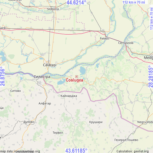
Coslugea GPS coordinates[2]
44° 7' 7.608" North, 27° 34' 43.392" East
| Map corner | latitude | longitude |
|---|---|---|
| Upper-left | 44.6214°, | 26.8756° |
| Center: | 44.11878°, | 27.57872° |
| Lower-right: | 43.61185°, | 28.28185° |
| Map W x H: | 112.3×112.2 km | = 69.8×69.7mi |
| max Lat: | 48.23793° ⇑95% North |
| Coslugea: | 44.11878° |
| min Lat: | ⇓5% South 43.65638° |
| min Long | Coslugea | max Long |
| 20.31667° | 27.57872° | 29.65403° |
| W 91.9%⇐ | ⇒8.1% E |
Elevation
Elevation of Coslugea is 57 m = 187 ft, and this is 197.9 m = 649 ft below average elevation for this country.
| Max E: |
1278 m = 4193 ft | 90.2% |
| Avg. | 254.9 m = 836 ft | |
| Coslugea | 57 m = 187 ft | |
Min E: |
-2 m = -7 ft | 9.8% |
See also: Romania elevation on elevation.city.
Geographical zone
Coslugea is located in North temperate zone (between Tropic of Cancer and the Arctic Circle). Distance of this Northern Tropic circle is 2299.6 km =1428.9 mi to South.| Distance of | km | miles | from Coslugea |
|---|---|---|---|
| North Pole | 5101.5 | 3169.9 | to North |
| Arctic Circle | 2495.6 | 1550.7 | to North |
| Tropic Cancer | 2299.6 | 1428.9 | to South |
| Equator | 4905.5 | 3048.1 | to South |


Nearby cities:
15 places around Coslugea: (largest is in red/bold)
• Băneasa
11.3 km =7 mi,  120°
120°
• Canlia
4 km =2.5 mi,  281°
281°
• Carvăn
9.1 km =5.7 mi,  184°
184°
• Dichiseni
13.2 km =8.2 mi,  344°
344°
• Făurei
12.9 km =8 mi,  132°
132°
• Galița
7.3 km =4.5 mi,  253°
253°
• Lipniţa
2.7 km =1.7 mi,  140°
140°
• Negureni
14.2 km =8.8 mi,  100°
100°
• Oltina
8.8 km =5.5 mi,  52°
52°
• Ostrov
16.9 km =10.5 mi,  269°
269°
• Roseţi
14.9 km =9.3 mi,  315°
315°
• Răzoarele
8.3 km =5.2 mi, 103°
• Satnoeni
12.9 km =8 mi,  350°
350°
• Unirea
17 km =10.6 mi,  14°
14°
• Viile
15.1 km =9.4 mi,  71°
71°
Sources, notices
• [Note1] Compared only with cities in Romania existing in our database
• [Src1] Map data: © OpenStreetMap contributors (CC-BY-SA)
• [Src2] Other city data from geonames.org with taken over terms of usage.
• [Src3] Geographical zone / Annual Mean Temperature by Robert A. Rohde @ Wikipedia
