Budeşti geodata
Budeşti (Maramureş) is a seat of a second-order administrative division; located in Romania in Europe/Bucharest (GMT+3) time zone. With population of 3,437 people, there are 1464 cities with bigger population in this country. Compared to other cities in Romania, 95.4% of cities are located further ↓South; 70.3% of cities are located further →East and 94.2% of cities have lower elevation than Budeşti. Note1


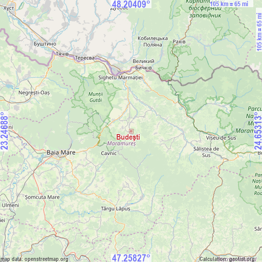
Budeşti GPS coordinates[2]
47° 43' 59.988" North, 23° 57' 0" East
| Map corner | latitude | longitude |
|---|---|---|
| Upper-left | 48.20409°, | 23.24688° |
| Center: | 47.73333°, | 23.95° |
| Lower-right: | 47.25827°, | 24.65313° |
| Map W x H: | 105.2×105.2 km | = 65.4×65.4mi |
| max Lat: | 48.23793° ⇑4.6% North |
| Budeşti: | 47.73333° |
| min Lat: | ⇓95.4% South 43.65638° |
| min Long | Budeşti | max Long |
| 20.31667° | 23.95° | 29.65403° |
| W 29.7%⇐ | ⇒70.3% E |
Elevation
Elevation of Budeşti is 601 m = 1972 ft, and this is 346.1 m = 1135 ft above average elevation for this country.
| Max E: |
1278 m = 4193 ft | 5.8% |
| Budeşti | 601 m 1972 ft | |
| Avg. | 254.9 m = 836 ft | |
Min E: |
-2 m = -7 ft | 94.2% |
See also: Romania elevation on elevation.city.
Geographical zone
Budeşti is located in North temperate zone (between Tropic of Cancer and the Arctic Circle). Distance of this North polar circle is 2093.7 km =1301 mi to North.| Distance of | km | miles | from Budeşti |
|---|---|---|---|
| North Pole | 4699.6 | 2920.2 | to North |
| Arctic Circle | 2093.7 | 1301 | to North |
| Tropic Cancer | 2701.5 | 1678.6 | to South |
| Equator | 5307.4 | 3297.9 | to South |


Nearby cities:
15 places around Budeşti: (largest is in red/bold)
• Breb
3.8 km =2.4 mi,  296°
296°
• Cavnic
9.7 km =6 mi,  220°
220°
• Cornești
9.4 km =5.8 mi,  8°
8°
• Călineşti
5.8 km =3.6 mi, 14°
• Deseşti
8.3 km =5.2 mi, 296°
• Ferești
10.9 km =6.8 mi,  0°
0°
• Giuleşti
9.3 km =5.8 mi,  352°
352°
• Hărnicești
7.2 km =4.5 mi,  318°
318°
• Mara
9.2 km =5.7 mi,  285°
285°
• Nănești
12.5 km =7.8 mi,  21°
21°
• Ocna Şugatag
5.7 km =3.5 mi, 347°
• Sat-Șugatag
7.9 km =4.9 mi,  335°
335°
• Slătioara
11 km =6.8 mi,  77°
77°
• Sârbi
3.2 km =2 mi, 353°
• Văleni
7.6 km =4.7 mi,  40°
40°
Sources, notices
• [Note1] Compared only with cities in Romania existing in our database
• [Src1] Map data: © OpenStreetMap contributors (CC-BY-SA)
• [Src2] Other city data from geonames.org with taken over terms of usage.
• [Src3] Geographical zone / Annual Mean Temperature by Robert A. Rohde @ Wikipedia
